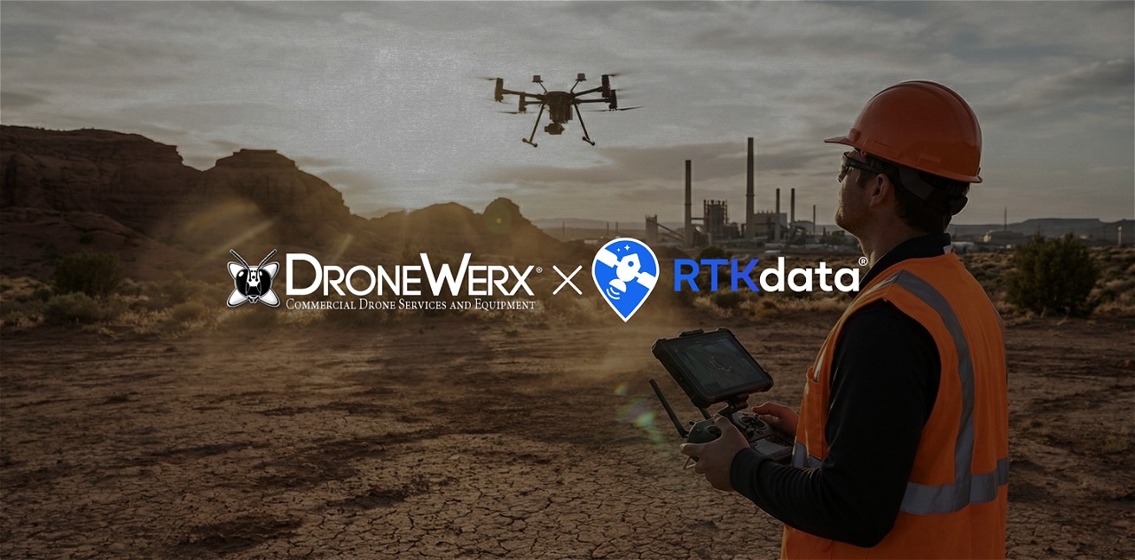
DRONEWERX Accelerates RTK Drone Mapping in Southern Nevada with RTKdata
RTK drone mapping at scale works best when you remove field overhead: no GCPs, no local base station, just network RTK via NTRIP. This case study shows how DRONEWERX cut on-site time and cost while delivering repeatable, centimeter-level mapping results in Southern Nevada.
DRONEWERX Accelerates RTK Drone Mapping in Southern Nevada with RTKdata Read More »