RTK for Environmental Monitoring:
Achieve 1-2 cm Accuracy

RTK for environmental monitoring delivers 1-2 cm positioning accuracy for habitat mapping, erosion monitoring, coastal surveys, and wetland delineation. RTKdata streams NTRIP corrections from 20,000+ base stations in 145+ countries, no physical base station needed.
Coverage: select a location…
RTK Precision
2 cm
10 cm
Drone operator conducting environmental monitoring near historic bridge.

What Is RTK for Environmental Monitoring?

RTK (Real-Time Kinematic) positioning delivers 1-2 cm accuracy by correcting satellite signals with data from a nearby reference station, replacing handheld GPS accuracy of 1-3 meters with real-time centimeter precision. Map habitat boundaries, track coastal erosion, delineate wetlands, and geolocate sample plots with centimeter accuracy, all without a base station in the field. NTRIP replaces traditional base setups with a network correction stream.

Field Research in 3 Steps

From signup to survey-grade environmental data. No base station hardware, no complicated configuration.

01

Choose a Plan

Create a free account at rtkdata.com and select the plan for your research needs. No credit card required for the 30-day trial.

02

Enter NTRIP Credentials

Copy your NTRIP server, port, mountpoint, username, and password from the RTK Credentials tab.

03

Verify FIX

Power on your receiver and watch RTK status change from SINGLE to FLOAT to FIX, typically under 30 seconds.

Ready to monitor with centimeter accuracy without base stations?

Get your NTRIP credentials in under 2 minutes. Start detecting movement today.

Why Use RTK GPS for Environmental Monitoring?

Whether you need RTK for coastal erosion monitoring or habitat mapping, capture repeatable, survey-grade data that stands up to peer review.

Coastal & Erosion Monitoring

RTK coastal monitoring captures centimeter-accurate cross-shore profiles, shoreline positions, and cliff-edge coordinates. Repeat surveys detect changes as small as 2-3 cm between visits, essential for long-term coastal change research.

Habitat Mapping & Ecology

Delineate vegetation communities, map species occurrence points, and geolocate permanent study plots with centimeter precision. Data integrates directly into QGIS and ArcGIS for spatial analysis.

Water Resource & Wetland Survey

Capture precise wetland boundary coordinates for jurisdictional delineation and flood-zone mapping. Centimeter vertical accuracy enables reliable hydrological gradient measurements.

Forest Inventory & Carbon Monitoring

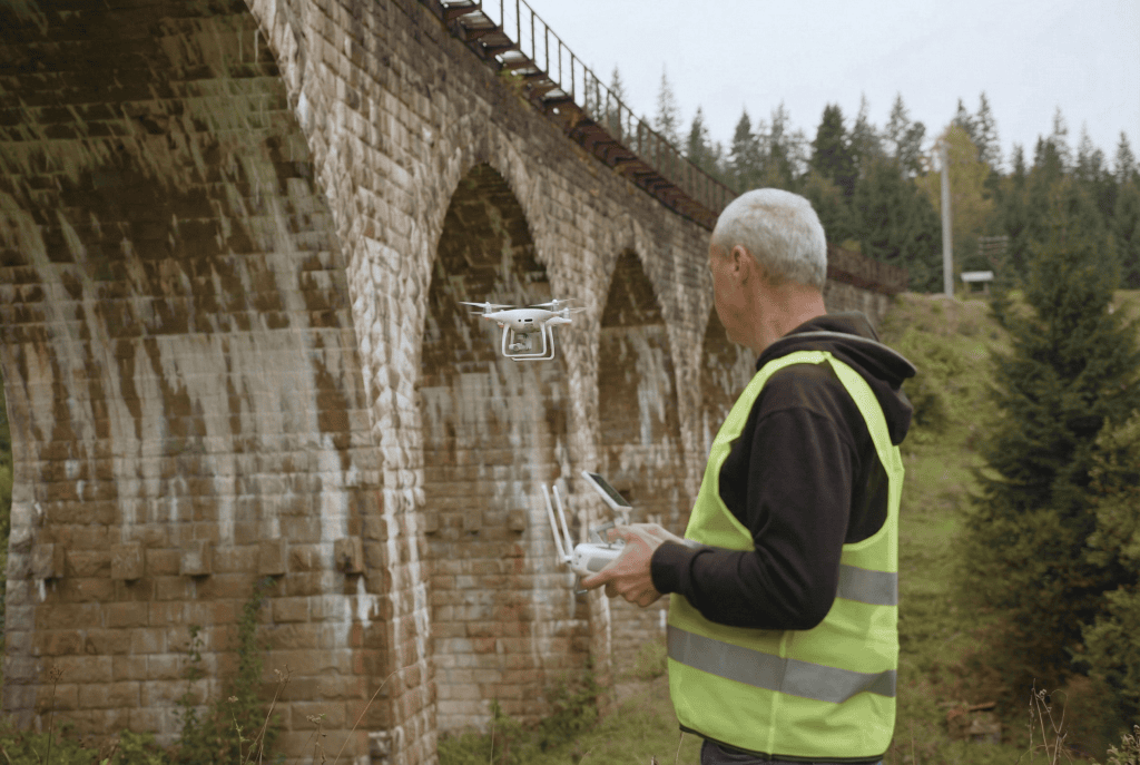
Position sample plots, tree stems, and canopy measurement points with centimeter accuracy under open-canopy conditions. Accurate geolocation is critical for carbon stock calculations and long-term comparison datasets.

Compatible Field Equipment

RTKdata is hardware-agnostic. Any GNSS receiver that supports NTRIP works out of the box.

GNSS Survey Receivers

Receiver Brand Use Case Setup Guide
Emlid Reach RS3 Emlid Survey, stakeout, GIS Setup Guide →
Trimble R12i Trimble Boundary, topo, construction Setup Guide →
Leica GS18 Leica Cadastral, topo, monitoring Setup Guide →
Septentrio mosaic-X5 Septentrio OEM, high-precision integration Multi-band, multi-constellation
ArduSimple simpleRTK2B ArduSimple Custom builds, robotics, research u-blox ZED-F9P module

View all 15+ compatible receivers and setup guides →

Field Software

Software Platform Setup Guide
Emlid Flow iOS / Android Setup Guide →
Carlson SurvPC / SurvCE Windows Mobile / CE Setup Guide →
MicroSurvey FieldGenius Windows / Android Setup Guide →

See all compatible field software →

Hardware-agnostic: RTKdata works with any GNSS receiver that speaks NTRIP. If your receiver has NTRIP settings (server, port, mountpoint, credentials), it works with RTKdata. No proprietary corrections, no vendor lock-in.

Ready for Survey-Grade Environmental Data?

20,000+ base stations in 145+ countries. No base station to carry. No long-term contract.

Trusted by Field Professionals Worldwide

⭐ 5.0 from 26 Google Reviews
“Great experience. I’ve used their service on 3 continents now with great results. Great customer support as well.”
Andrew Priddis — Inertialsense
“RTKDATA is the best. It reaches to remote places with centimeter precision. They are attentive to your questions and respond quickly.”
Rey Sanjur
“Very easy to use and very precise even in areas where you think you don’t have coverage the accuracy is great!”
Angelina Wolf

Frequently Asked Questions

What accuracy does RTK provide for environmental monitoring?
With a stable RTK FIX, GNSS receivers achieve 1-2 cm horizontal and 2-3 cm vertical accuracy. This is sufficient for habitat boundary delineation, erosion transect surveys, coastal profile monitoring, and ecological plot geolocation.
Yes. RTK GPS for ecology enables researchers to map habitat boundaries, vegetation plots, species occurrence points, and ecological transects with centimeter accuracy, far beyond what handheld GPS can deliver.
No. RTKdata replaces the physical base station with 20,000+ permanent reference stations. Your receiver connects to the nearest station via NTRIP. No hardware to carry into the field or maintain.
Any GNSS receiver that accepts NTRIP connections, including Emlid Reach RS3, Emlid Reach RX, Bad Elf Flex, EOS Arrow Gold, and ArduSimple boards. RTKdata is hardware-agnostic.
RTK enables researchers to capture centimeter-accurate cross-shore profiles, shoreline positions, and cliff-edge coordinates over time. Repeat surveys detect erosion rates as small as 2-3 cm between visits.
Yes. RTK-collected coordinates export directly to QGIS, ArcGIS, and other GIS platforms via standard formats like shapefile, GeoJSON, and CSV. Field software such as QField and SW Maps supports real-time GIS data collection.
RTKdata covers 145+ countries with 20,000+ base stations. Check the coverage map to confirm station availability at your field site. In areas without cellular coverage, you can log raw GNSS data and post-process with corrections later.

Start Collecting Survey-Grade Environmental Data

Connect your field GNSS receiver to RTKdata corrections in under 5 minutes. No base station, no long-term contract.