RTK for DJI Mavic 3T: Kira Solar Thermography Brazil
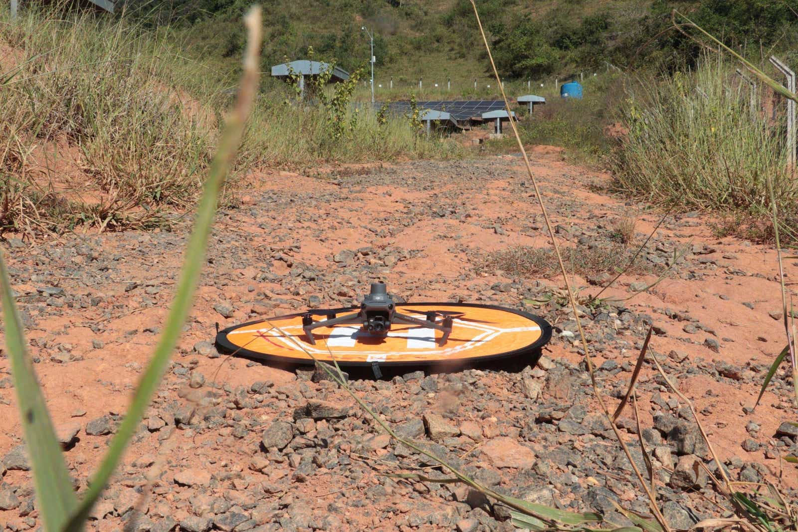
How Kira runs IEC-grade solar thermography on a $5,000 DJI Mavic 3T at 17 m altitude using RTKdata’s RTK network in Brazil. 3,192 modules indexed at Fortlev PoC.


How Kira runs IEC-grade solar thermography on a $5,000 DJI Mavic 3T at 17 m altitude using RTKdata’s RTK network in Brazil. 3,192 modules indexed at Fortlev PoC.
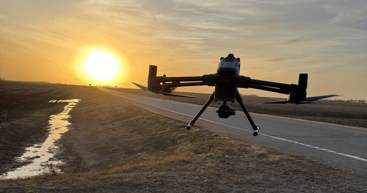
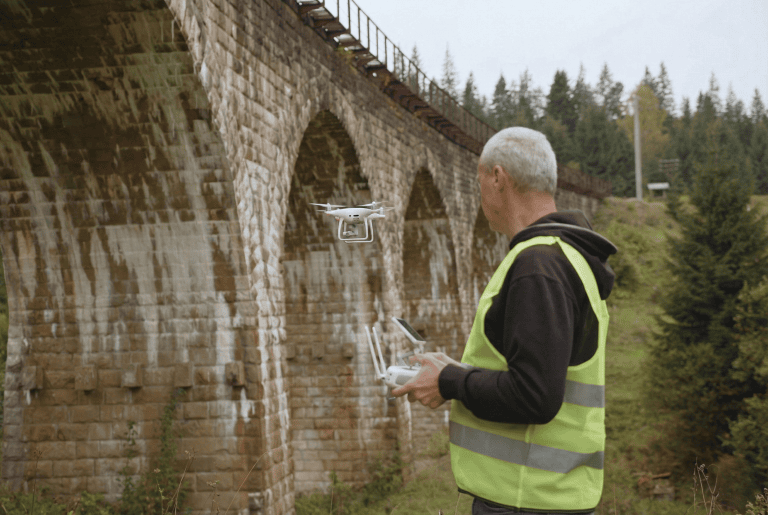
How AeroAg Drone Services switched RTK providers in 10 minutes after a $37,500 downtime job, then flew a DJI Matrice 400 fleet across South Dakota, Minnesota, and North Dakota with RTKdata NTRIP corrections feeding the TerraClear rock-mapping pipeline.
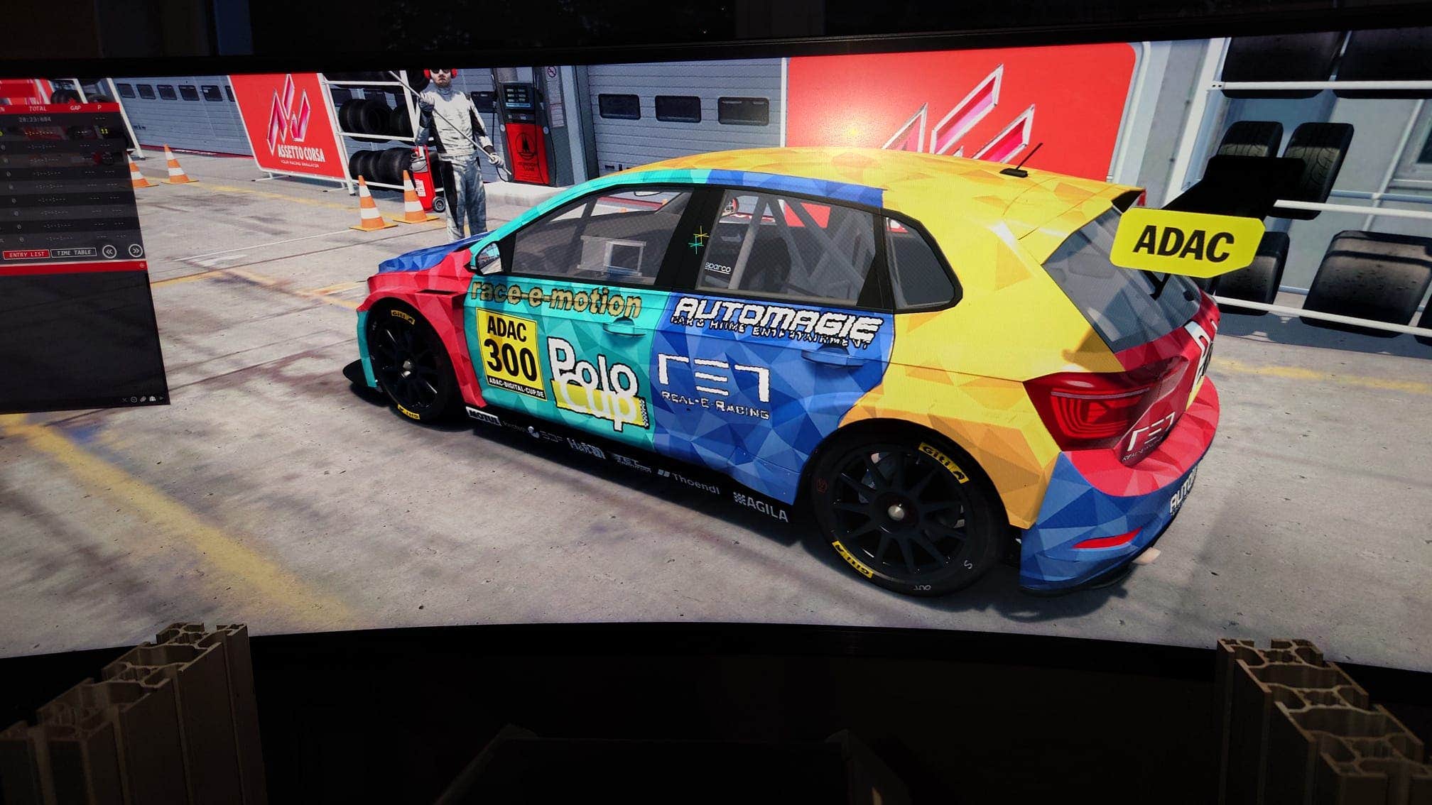
How Real-E-Racing replaces 2.5-meter OEM motorsport GPS with centimeter-accurate RTK GPS, building the first live digital twin of motorsport. Validated with a 1,000 km live stream from Silverstone to a sim rig in Stuttgart.