

Network RTK Comparison: Which System Performs Best?
Network RTK combines multiple reference stations to model distance‑dependent GNSS errors and stream real-time corrections across large regions. It contrasts network vs single‑base setups and shows how station density, uptime, and update rates.

NTRIP connection flow explained
From sourcetable to mountpoint stream, this guide traces the NTRIP connection flow used by rovers and apps. It covers v1 vs v2 handshakes, GGA needs for VRS/NEAR, and resilience: timeouts, backoff, failover, and Age of Corrections.
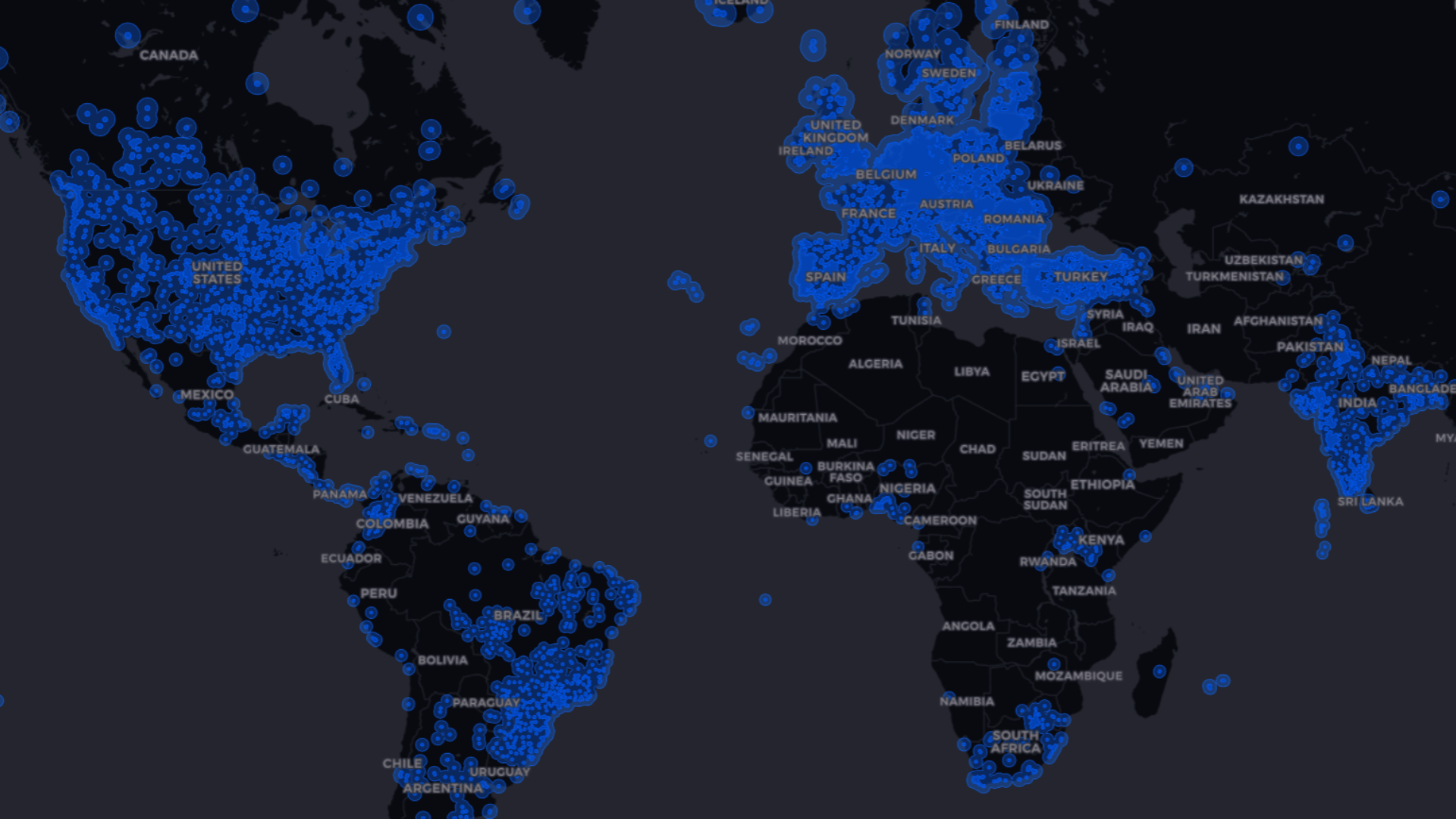
GNSS Corrections Map – Coverage and Accuracy
A GNSS corrections map shows where RTK, PPP/PPP‑RTK, and SBAS are available and what accuracy to expect. Use it to match regional coverage to tolerances and see how corrections shrink 5–10 m standalone errors toward centimeters.
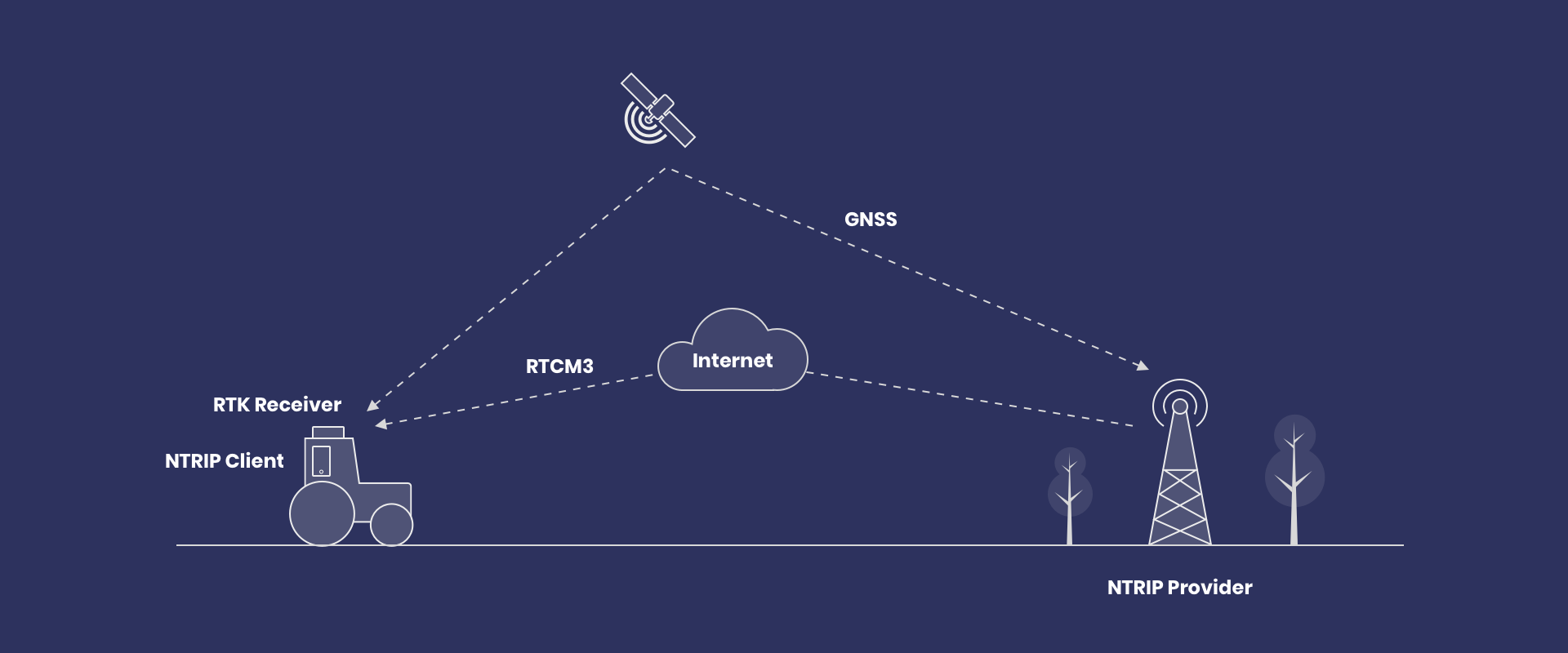
What is NTRIP? RTCM Corrections for GNSS Rovers
NTRIP turns the internet into a real-time pipeline for RTCM corrections, giving GNSS rovers centimeter-level positioning. You’ll learn the core client settings (host, port, credentials, mountpoint) and what to watch—RTK Fix status and correction age.
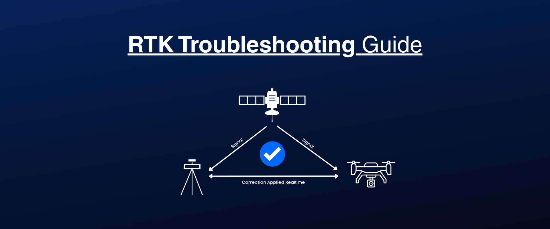
RTK Troubleshooting Guide: Step-by-step
A practical 7-step checklist helps you stabilize RTK when fixes drop or correction streams lag. It walks through network tests, sky view and hardware checks, NTRIP validation, and monitoring Fix/Float plus correction age (target ~1 s).
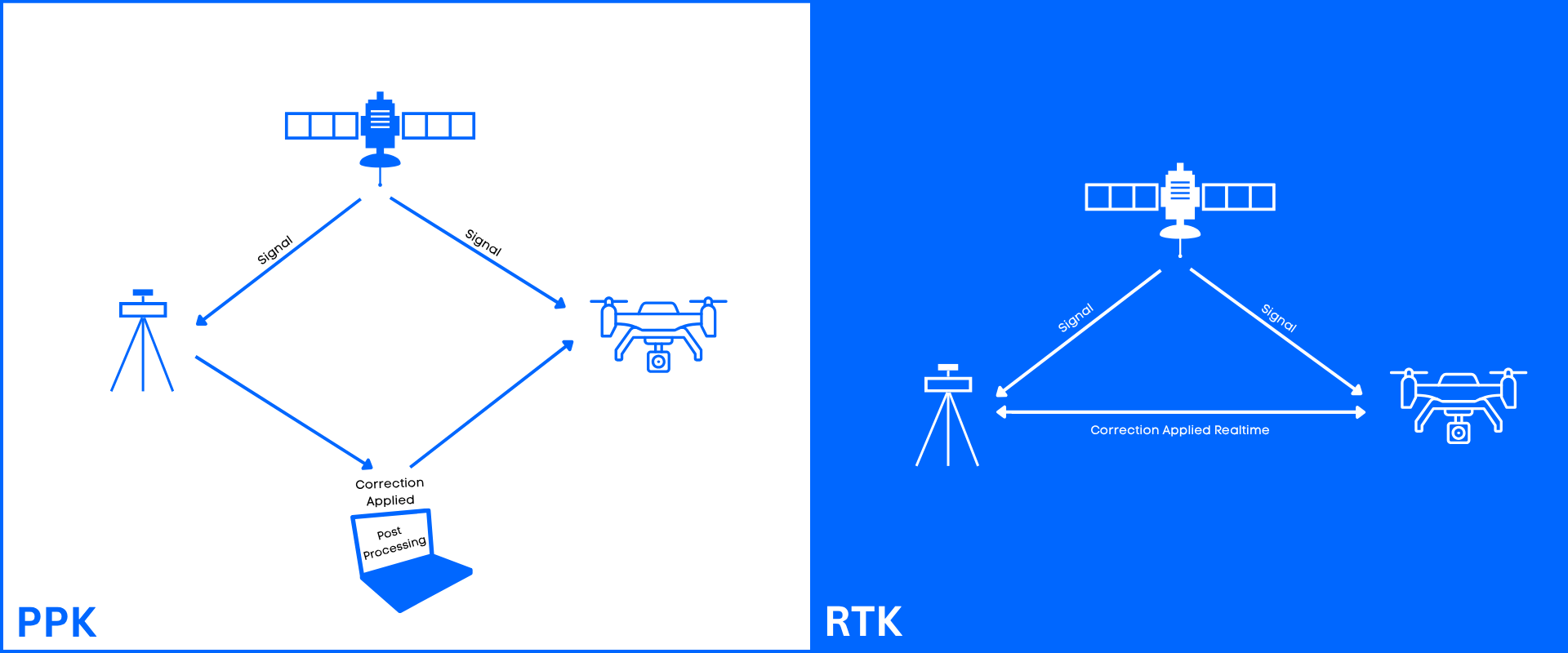
RTK vs PPK
Choosing between UAV RTK and PPK comes down to connectivity, turnaround time, and how you geotag photos for mapping. See when real-time corrections beat post-processing, and why camera event timing plus lever‑arm offsets decide centimeter-level accuracy.