

From RAF Veteran to RTK Drone Mapping Professional: How Sky Eye Imagery Delivers Centimeter-Accurate Surveys
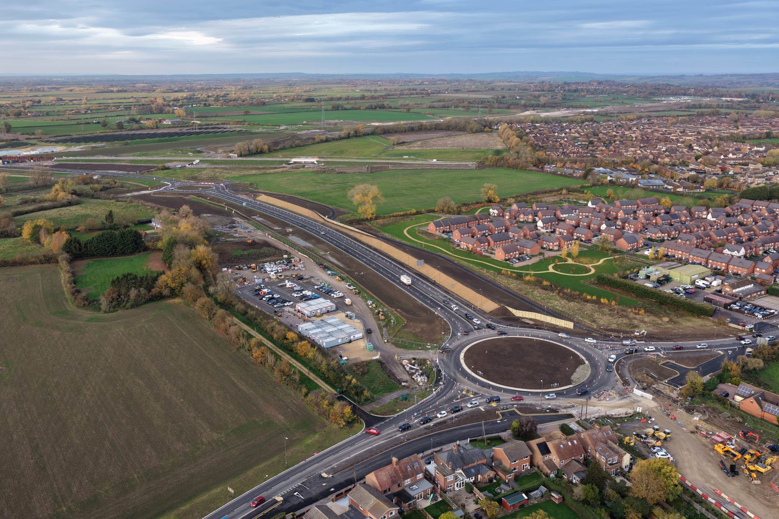
Sky Eye Imagery delivers RTK drone mapping with 1-2 cm accuracy for UK infrastructure projects — using RTKdata’s NTRIP correction service at a fraction of previous costs.