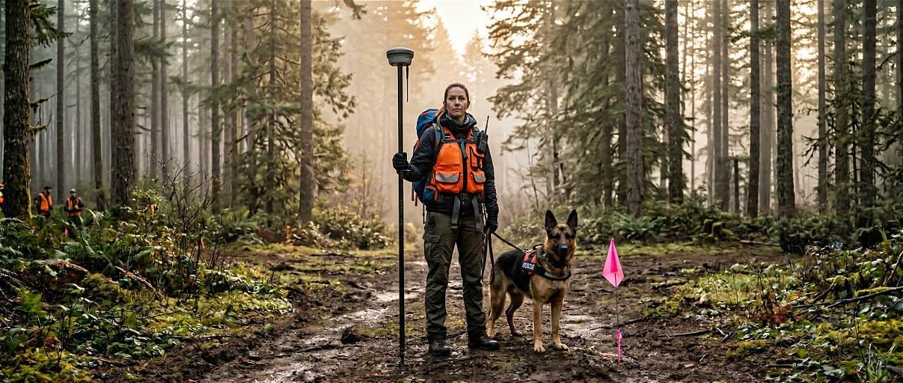
RTK GPS in Search and Rescue: How K9 Detection Teams Achieve Centimeter-Accurate Alert Locations
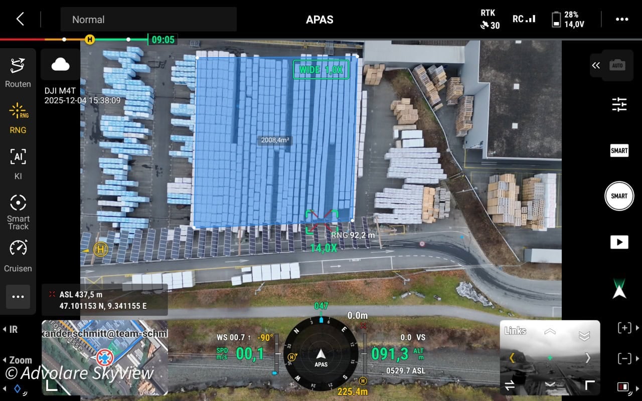
ADVOLARE SkyView achieves centimeter-accurate drone surveying across the Swiss Alps using RTKdata’s NTRIP RTK corrections — replacing expensive regional networks for DJI Matrice 4T and 4DT missions.