

RTKdata Blog

Get reliable centimeter-level positioning: RTK/NTRIP tutorials, comparisons, and field tips.
 
BROWSE BY TOPIC

News

Autonomous robot using sensor fusion and GNSS RTK for precise navigation in a warehouse.
Kevin Grub

Sensor Fusion Robotics and GNSS RTK for Reliable Localization in 2026

Sensor fusion robotics works best when you design for failures: IMU + odometry + cameras/LiDAR + GNSS/RTK, tight calibration, time sync, and honest covariances. This guide covers fusion architectures and estimators (EKF/UKF, particle filters, factor graphs) plus a ROS2-ready blueprint for reliable localization in real robots, now.
Read More »
RTK and GPS surveying equipment for construction site accuracy comparison.
Kevin Grub

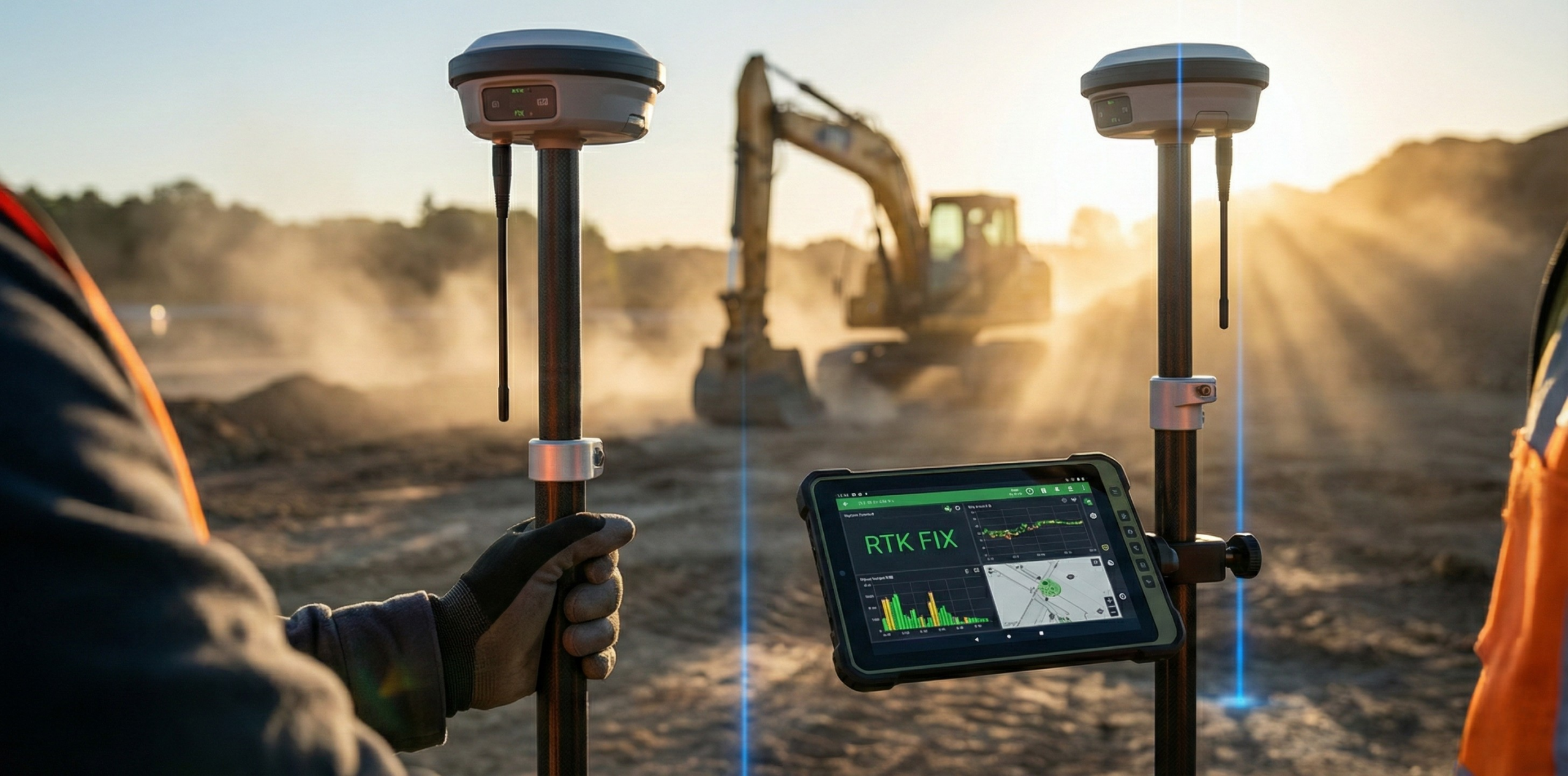
RTK GPS Accuracy: What 1–2 cm Actually Means in the Field

Most “GPS” in the field is uncorrected GNSS (SPP) and often sits around 1–5 m—fine for navigation, costly for staking and QA. RTK adds RTCM corrections (usually via NTRIP) and carrier-phase to deliver centimeter-level positioning when you maintain an RTK FIX, and shows when PPK or PPP is the smarter workflow.

Read More »
RTK Base station
Kevin Grub

RTK Base station: Is Having One in 2026 Worth It?

Building your own RTK base station in 2026 can still pay off for offline work and compact areas, but network RTK via NTRIP is the default for most teams. Learn what production-grade requires—antenna siting, verified coordinates, correction delivery, monitoring, and datum/frame consistency.

Read More »