

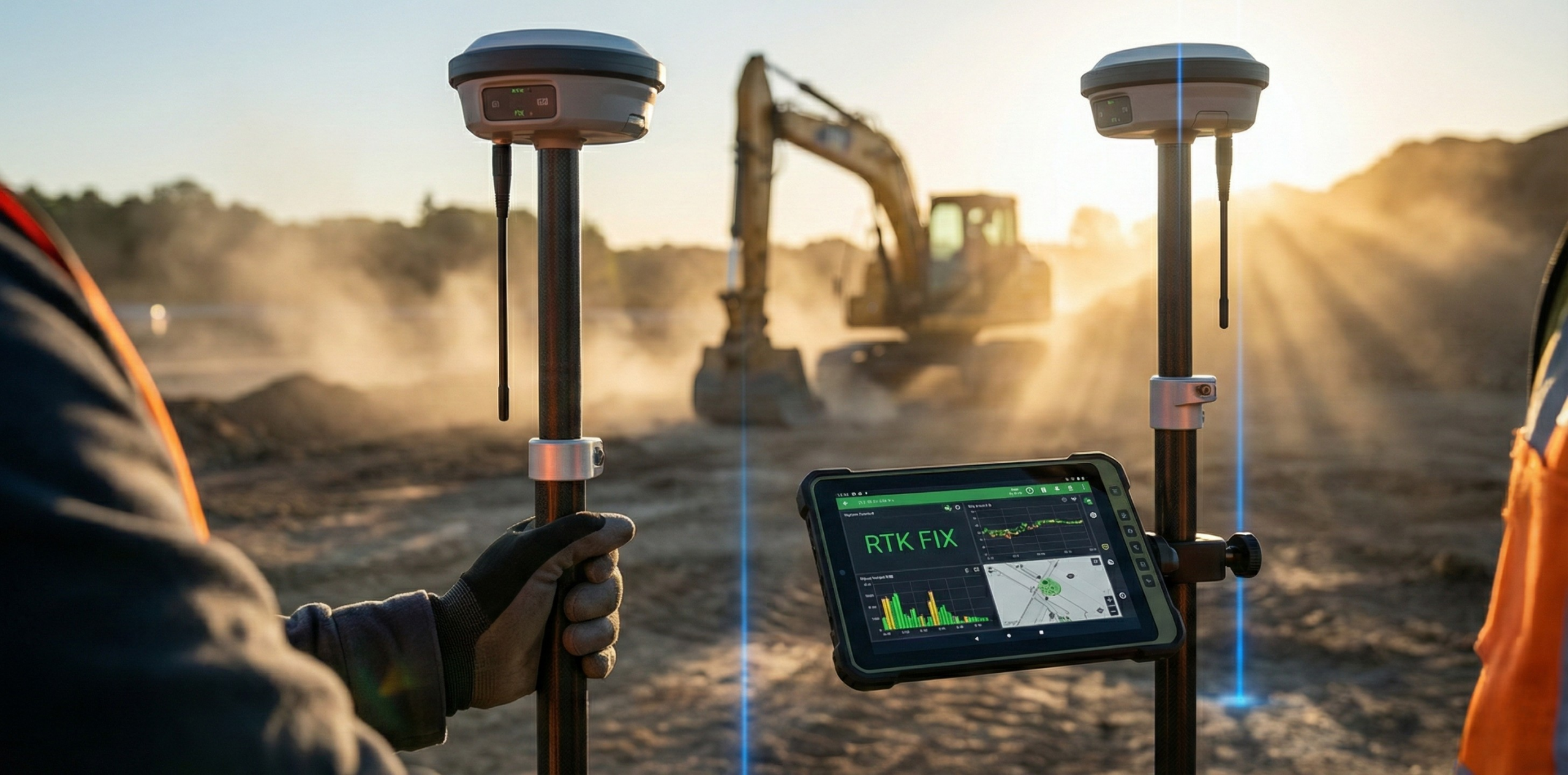
The datasheet says 8 mm plus 1 ppm horizontal. The controller in the field says something else, and both numbers are correct. The datasheet figure is what the receiver achieves on a short baseline, with a clear sky, a stable correction stream and time to converge. Remove any one of those and the number moves.
RTK accuracy is a range with conditions attached, not a single specification. RTKdata quotes 1 to 2 cm horizontal and 2 to 3 cm vertical, but that assumes you are close to a reference station, tracking satellites well above the horizon, and receiving corrections in under a second. What follows gives you both halves: the figures, and the conditions behind them.
- RTK GPS accuracy at a glance
- Why vertical accuracy is worse than horizontal
- How baseline distance affects RTK accuracy
- Fix vs Float: what each status costs you
- What degrades RTK accuracy in the field
- RTK vs standard GPS: the practical difference
- RTK vs PPK vs PPP vs DGPS accuracy
- Why your RTK accuracy is worse than the spec sheet
- Choosing the accuracy level your work actually needs
- Frequently asked questions
RTK GPS accuracy at a glance
RTK GPS accuracy is typically 1 to 2 cm horizontal and 2 to 3 cm vertical, with an RTK FIX held, a baseline within 15 km of a reference station, a clear view of the sky and correction latency under one second. Lose any of those and the figure moves.
| Measure | Typical RTK (FIX) | Standard GNSS | Conditions assumed |
|---|---|---|---|
| Horizontal | 1 to 2 cm | 4.9 m radius: GPS.gov phone example, open sky | RTK FIX, baseline under 15 km, open sky above 15 degrees elevation |
| Vertical | 2 to 3 cm | Usually worse than horizontal; depends on receiver and geometry | Same conditions; RTKdata sends ellipsoidal heights, so a geoid model is required |
| Time to first fix | 5 to 20 seconds under open sky; datasheets quote 2 to 8 s | Acquisition only, no convergence step | NMEA GGA sent, corrections arriving in under 1 s |
| Degradation with distance | R12i example: 1 ppm (1 mm per km), single base | No baseline, so no distance term | RMS receiver spec; RTK FIX; baseline under 30 km; not an RTKdata network test |
Table sources: RTKdata service figures, quick start and accuracy expectations (accessed 2026); GPS.gov smartphone example (accessed 2026); Trimble R12i guide (2020) for receiver specifications. Equipment and confidence measures differ.
Why vertical accuracy is worse than horizontal
Your receiver only ever observes satellites above the horizon. None sit below your feet, so your height is constrained from one side, while your horizontal position is fixed by satellites spread around you in all directions. That is why VDOP runs larger than HDOP. As Richard Langley put it in GPS World, if the Earth were transparent to radio waves we would determine vertical coordinates with about the same accuracy as horizontal.
The penalty is about 1.5 to 2 times. RTKdata's documentation states 1.5 to 2 times. The GPS SPS Performance Standard (2020) pairs 8 m horizontal with 13 m vertical, a factor of 1.6. Medians calculated from the 26 site rows in the FAA's July 2026 report, Table 5-2, are 2.45 m horizontal and 3.54 m vertical at 95 percent, a ratio of 1.45. Trimble's R12i sits near two.
Plan accordingly. A job written against a horizontal tolerance can still fail on elevation, because RTK GPS vertical accuracy is the looser of the two numbers. RTKdata quotes 1 to 2 cm horizontal and 2 to 3 cm vertical.
There is a second trap in the vertical. RTK gives you an ellipsoidal height, not the height a levelling crew or drainage design works in. Converting to an orthometric elevation needs a geoid model. Without one, elevations can be out by 10 to 50 metres or more, which no centimetre-level fix will rescue.
How baseline distance affects RTK accuracy
An RTK accuracy figure comes in two parts. A receiver quoted at 8 mm + 1 ppm horizontal has a fixed term of 8 mm and a distance term of one part per million. One ppm is 1 mm of added error per kilometre of baseline, so at 10 km the ppm term adds 10 mm to the 8 mm floor.
The Trimble R12i quotes 8 mm + 1 ppm horizontal and 15 mm + 1 ppm vertical RMS on a single baseline under 30 km. On network RTK the same receiver is quoted at 8 mm + 0.5 ppm horizontal and 15 mm + 0.5 ppm vertical. The fixed term stays; the distance term halves.
Distance matters because of what the technique assumes: that the reference station and your rover see the same ionosphere and troposphere. That holds over a short baseline and decays with separation. Past a threshold the residual atmospheric error is too large for the receiver to hold its carrier phase ambiguities, and the solution drops from Fix to Float.
Network RTK can model atmospheric conditions across several reference stations. A virtual reference station generated near the rover shortens the effective baseline. RTKdata AUTO instead streams corrections from the nearest physical station. The R12i modelled-network specification is a receiver example, not an RTKdata measurement.
ESA Navipedia puts one base station's service area at about 10 or 20 kilometres. RTKdata guidance is to work within 15 km of a reference station, which on a 20,000+ station network is a question of density, not ownership. See RTK accuracy over distance, check network coverage near your sites, or start a 30-day trial.
Fix vs Float: what each status costs you in accuracy
Your receiver reports a solution type with each position. The three below sit further apart than their names suggest.
Single means no corrections are applied. Standalone GNSS accuracy is metre-level; GPS.gov gives a 4.9 m open-sky smartphone example. Fine for navigation, not for setting out.
Float means corrections are arriving and the receiver is using carrier phase, but the integer ambiguities are unresolved. Float is not a slightly worse Fix. It can be an order of magnitude worse, and no centimetre figure on your receiver datasheet applies while it lasts. Emlid’s glossary (accessed 2026) gives a few centimetres to about 1 metre for its receivers.
The transition is simple to miss: positions keep updating and the track stays smooth. Check against a known point; a stable position can still be wrong.
Fix means the ambiguities are resolved, and only then do datasheet RTK figures such as 8 mm plus 1 ppm horizontal on an R12i single baseline become relevant to the receiver and conditions you are using. RTKdata's quick start puts convergence at 5 to 20 seconds under open sky, and treats 90 seconds without a FIX as the point to start troubleshooting rather than the expected wait.
What pushes you back to Float is usually a break in carrier-phase tracking, from obstruction or multipath near buildings, metal structures or canopy. Correction age is the second thing to check. RTKdata's published accuracy expectations put full RTK performance under 1 second of latency, more Float between 1 and 3 seconds, and stale corrections beyond 3 seconds, where accuracy drops significantly.
Saying you worked in RTK, without saying FIX or FLOAT, is not a quality statement.
What degrades RTK accuracy in the field
Sky obstruction and multipath
RTKdata's documentation is blunt: multipath is the number one accuracy killer after distance. Signals bounce off walls, vehicles and wet ground, and the receiver ranges on the reflection.
Four sky-view bands cover most work. Best is open field with nothing above 15 degrees elevation. Good is rural with scattered trees. Challenging is near buildings or partial canopy. Poor is urban canyons, dense forest and large metal structures. Symptoms and fixes: multipath and signal dropouts.
Satellite geometry and DOP
In GNSS positioning, dilution of precision multiplies your ranging error. The same measurements give a tighter position when satellites are spread across the sky, and a looser one when they cluster.
Geometry is also why the vertical suffers most, as set out above.
Atmospheric conditions
Ionospheric activity is the atmospheric term that matters, and it counts most on long baselines. Tropospheric effects are minor by comparison.
Neither is usually why a job goes wrong. Check obstruction, baseline length and correction age first: RTKdata's guidance puts full performance under one second of latency, with corrections stale past three seconds.
Antenna and receiver quality
Hardware sets the floor. A geodetic antenna with a ground plane rejects signals arriving from below, which is most of your multipath. Mount it high, clear of metal, and keep your body out of the sky view.
Multi-band receivers hold FIX longer in poor conditions. Published RTK figures such as 8 mm + 1 ppm horizontal assume that class of antenna.
RTK vs standard GPS: the practical difference
The question goes beyond “how accurate is a GPS system?” It is whether the error your receiver produces is smaller than the tolerance the job carries. An RTK GNSS receiver earns its cost only where that gap is real.
Metre level is genuinely fine for a lot of work: navigating to a site, logging an asset's rough position for a maintenance database, flying a scouting mission where the imagery matters more than the coordinates, tracking a vehicle across a yard. GPS.gov gives a 4.9 m open-sky smartphone example; check whether that meets your task’s tolerance.
Metre level stops being fine the moment something gets built, staked or measured against your coordinates. Setting out foundations, cadastral boundaries, machine control on a grader blade, drone mapping where ground control has to match survey control, volumetric earthworks. Here RTK's 1 to 2 cm horizontal and 2 to 3 cm vertical is not a luxury; it is the only way the numbers close.
One honest caveat about the metre-level figures. gps.gov publishes 4.9 m for open-sky smartphone-class receivers, while the SPS Performance Standard commits to 8 m horizontal at 95 percent. That 8 m is a signal-in-space commitment: section 2.4.5 explicitly excludes ionosphere, troposphere, multipath, receiver noise and antenna effects, so it describes what the constellation broadcasts, not what your receiver resolves on the ground.
Pick the tolerance first. The equipment follows.
RTK vs PPK vs PPP vs DGPS accuracy
| Method | Typical accuracy | Real time | Needs connectivity | Best for |
|---|---|---|---|---|
| SBAS (EGNOS example) | Specified 95% error bounds: 3 m horizontal, 4 m vertical, within the stated area and conditions | Yes | No internet; satellite corrections | General navigation and broad-acre guidance |
| DGPS / DGNSS | 0.25 m + 1 ppm horizontal, 0.50 m + 1 ppm vertical (RMS) | Yes | Yes, correction link | Sub-meter asset capture and GIS |
| PPP | Centimetre-level possible after convergence with precise orbit/clock products and suitable dual-frequency observations | Yes, with real-time products | Yes, satellite or internet for real-time corrections | Remote sites with no local network |
| RTK, own base | 8 mm + 1 ppm horizontal, 15 mm + 1 ppm vertical | Yes | Yes, radio or NTRIP | Layout and machine control on one site |
| Modelled network RTK over NTRIP (receiver example) | 8 mm + 0.5 ppm horizontal, 15 mm + 0.5 ppm vertical | Yes | Yes, cellular data | Work across many sites without a base |
| PPK | 5 mm + 0.5 ppm horizontal, 10 mm + 1 ppm vertical | No, post-processed | No live link needed | Drone mapping where the link drops |
Sources: differential GPS vs RTK, Trimble R12i (2020), RMS; its network ppm uses the nearest physical base. PPK, Emlid RS3 (undated, accessed 2026). SBAS, EUSPA EGNOS OS SDD 3.0 (2024), 95%; PPP, ESA PPP Fundamentals (2011). These are separate examples. RTKdata uses the nearest physical base, not the modelled-network method.
For the real-time versus post-processed decision on its own, see RTK vs PPK in detail.
Why your RTK accuracy is worse than the spec sheet
A datasheet figure like 8 mm + 1 ppm horizontal assumes a short baseline, open sky, a fixed solution, good satellite geometry and a quality antenna. Each costs you something when it fails.
Baseline, sky view and fix status each have their own section above, and each moves the figure on its own. Datasheet start-up times are also optimistic: 2 to 8 seconds on an R12i and about 5 on a Reach RS3, against 5 to 20 seconds in the field.
Confidence level. Receiver RTK specs are quoted RMS, while the 8 m horizontal SPS figure is quoted at 95 percent. Two numbers that look comparable often are not.
Some failures look like poor accuracy and are not. A stable but wrong position usually means a datum or geoid mismatch: RTKdata sends ellipsoidal heights, and without a geoid model elevations can be off by 10 to 50 metres. If the link is the problem, diagnose NTRIP connection errors before touching the rover.
That splits every accuracy problem into two classes: your setup, and your correction source. Decide which one you have before you change anything.
Test it against a documented network
Test your setup with 30 days of RTKdata corrections, published coverage and documented mountpoints to help isolate the correction source as a variable.
Choosing the accuracy level your work actually needs
Start from the tolerance your deliverable must meet, then pick the method. Buying a high-accuracy GPS receiver you do not need costs money; specifying one you do need too loosely costs a resurvey. RTKdata publishes two coverage zones, and that split sorts most jobs.
- Boundary and control survey. These belong in the 2 cm zone, where RTK FIX is reliable and results are survey-grade. Keep baselines inside 15 km and apply a geoid model, since corrections carry ellipsoidal heights. See RTK for surveying.
- Drone mapping and photogrammetry. The 2 to 10 cm zone is sufficient, especially with ground control. Horizontal sits in that band, vertical about 1.5 to 2 times worse. See RTK for drones.
- Machine control and construction layout. General layout is served by the 2 to 10 cm zone. Check the vertical figure in your spec first: grade tolerance usually binds before horizontal, and vertical is the weaker axis.
- Agricultural auto-steer. Guidance runs inside the 2 to 10 cm zone. Convergence matters more than the last centimetre: allow up to a minute before the first pass, longer in the 2 to 10 cm zone.
- Robotics. Set the requirement from the platform's control loop, not a datasheet. If decimetre positioning holds the machine on line, the 2 to 10 cm zone covers it.
The limit, plainly: the 2 to 10 cm zone is not sufficient for survey-grade control points or precise boundary work. If your output is coordinates other people will build from, work in the 2 cm zone and confirm your site falls inside it. Zone coverage is shown alongside the correction plans.
Frequently asked questions
What is the accuracy of RTK GPS?
With an RTK FIX in good conditions, RTKdata quotes roughly 1 to 2 cm horizontal and 2 to 3 cm vertical. Those figures assume a short baseline, clear sky and corrections arriving in under a second. FLOAT has no universal accuracy band; Emlid describes a few centimetres to about 1 metre for its receivers. Report the status alongside the number.
How accurate is GPS without RTK?
Uncorrected GNSS, also called single point positioning, has metre-level accuracy. GPS.gov gives a 4.9 m open-sky smartphone example; buildings and canopy can worsen it. The GPS Standard Positioning Service Performance Standard sets a global average position accuracy of 8 m horizontal at 95 percent, but that figure is derived from the signal in space and excludes atmosphere, multipath and receiver noise, so it is not what your receiver records.
How far can an RTK signal reach?
A single RTK base typically supports baselines of roughly 10 to 20 km. RTKdata recommends working within 15 km of a reference station for best accuracy. Its AUTO mountpoint streams corrections from the nearest physical station; it does not create a virtual station at your position. A dense station network helps keep that physical baseline short.
Which is more accurate, RTK or a total station?
A total station can reach millimetre-level relative accuracy between points, so it wins where tight local tolerances and controlled geometry matter. RTK gives you centimetre-level positioning in a national coordinate frame without needing line of sight, which is why many crews run both: RTK for production and control, the total station for the points that cannot move.
What are the disadvantages of RTK GPS?
RTK depends on three things you do not always control. It needs a correction source within a workable baseline, and accuracy degrades as that distance grows. It needs sky view, because canopy, buildings and multipath break carrier-phase tracking and drop the solution from FIX to FLOAT. And it needs a live correction link, so network RTK over NTRIP depends on mobile data. RTK also outputs ellipsoidal height, so orthometric elevations need a geoid model.
Why is my RTK vertical accuracy worse than horizontal?
Because your receiver only ever sees satellites above the horizon. Height is constrained from one side while horizontal position is constrained from all sides, so vertical dilution of precision runs larger than horizontal. Expect vertical error about 1.5 to 2 times the horizontal figure. If your elevations are out by tens of metres rather than centimetres, that is a missing geoid model, not the receiver.
The 1 to 2 cm figure is real, but it is a statement about conditions as much as hardware. Your receiver can hold that number in an open field on a short baseline with prompt corrections, but not under a canopy at the network edge with a laggy link.
The useful question is whether the position you collect meets the tolerance of the work you will deliver. A centimetre specification helps only when the conditions behind it hold at your site. Most of those conditions are things you can control. Match the method to the job, and treat the accuracy figure as a conditional result rather than a promise attached to the receiver.