
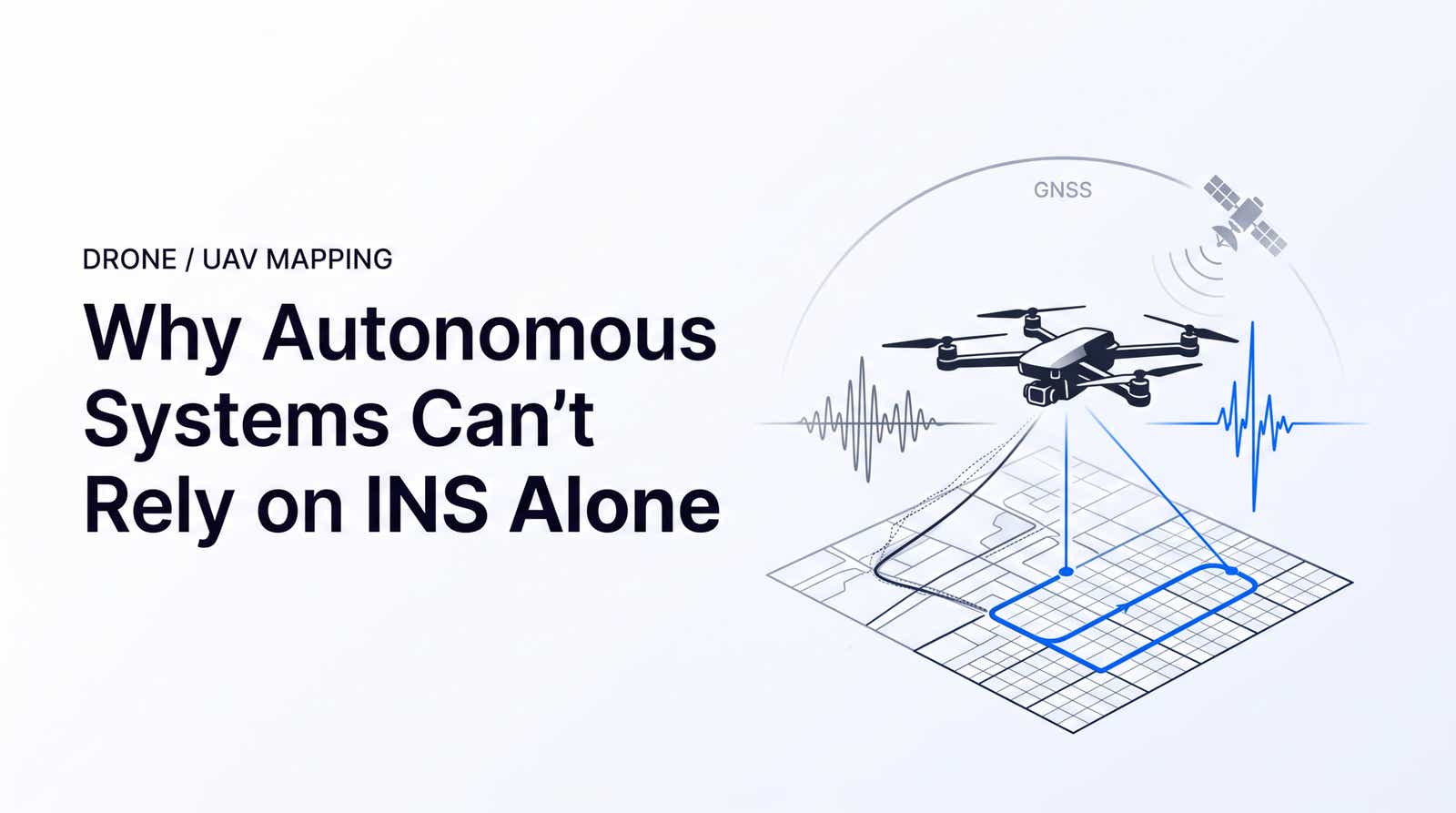

GNSS Aided Inertial Navigation: Why Autonomous Systems Can’t Rely on INS Alone
An INS gives an autonomous drone or ground robot a self-contained way to estimate motion when the sky view disappears.

An INS gives an autonomous drone or ground robot a self-contained way to estimate motion when the sky view disappears.
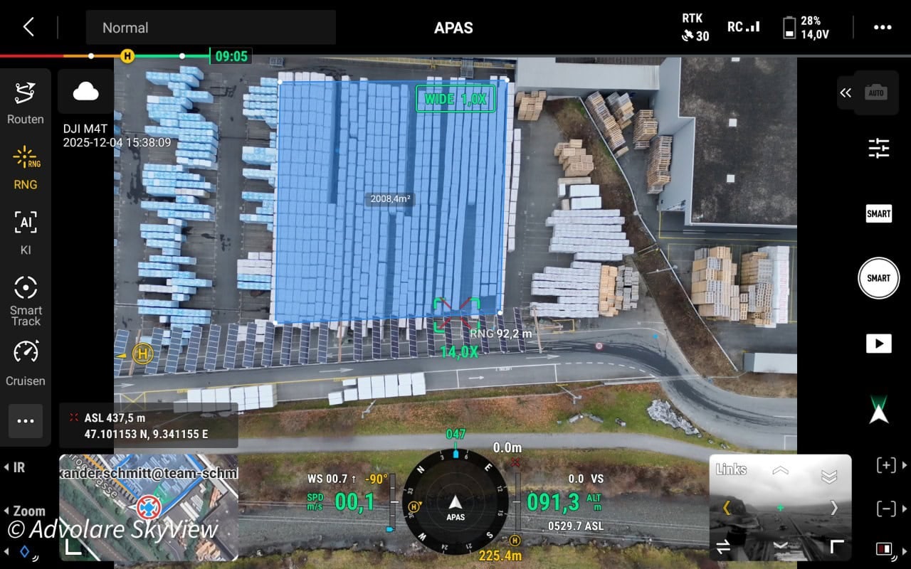
ADVOLARE SkyView achieves centimeter-accurate drone surveying across the Swiss Alps using RTKdata’s NTRIP RTK corrections — replacing expensive regional networks for DJI Matrice 4T and 4DT missions.

RTK survey equipment delivers centimeter-level GNSS positioning using real-time corrections. This guide covers the complete parts list, base/rover vs Network RTK workflows, NTRIP setup, accuracy specs, and cost factors—including Kenya-specific buying guidance for 2026.
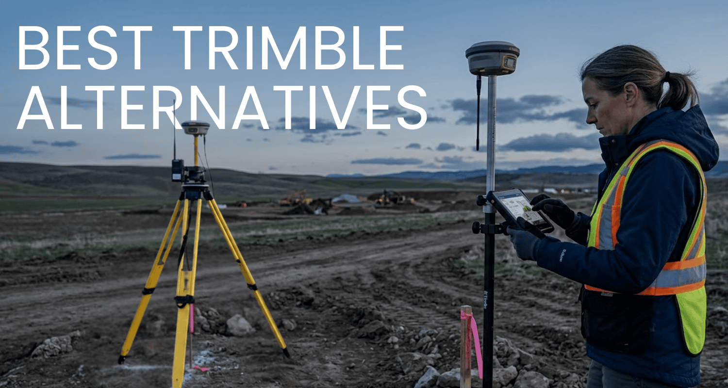
Looking for alternatives to Trimble RTK? Compare Leica and Topcon as premium hardware options, or switch to RTKdata’s open NTRIP correction service that works with thousands of GNSS receivers, including your existing Trimble equipment.
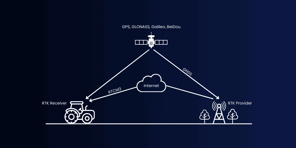
RTK (Real-Time Kinematic) uses carrier-phase GNSS signals and real-time corrections to achieve centimeter-level positioning accuracy. Learn how Single, Float, and Fix states work, and how to set up NTRIP corrections for reliable field performance.
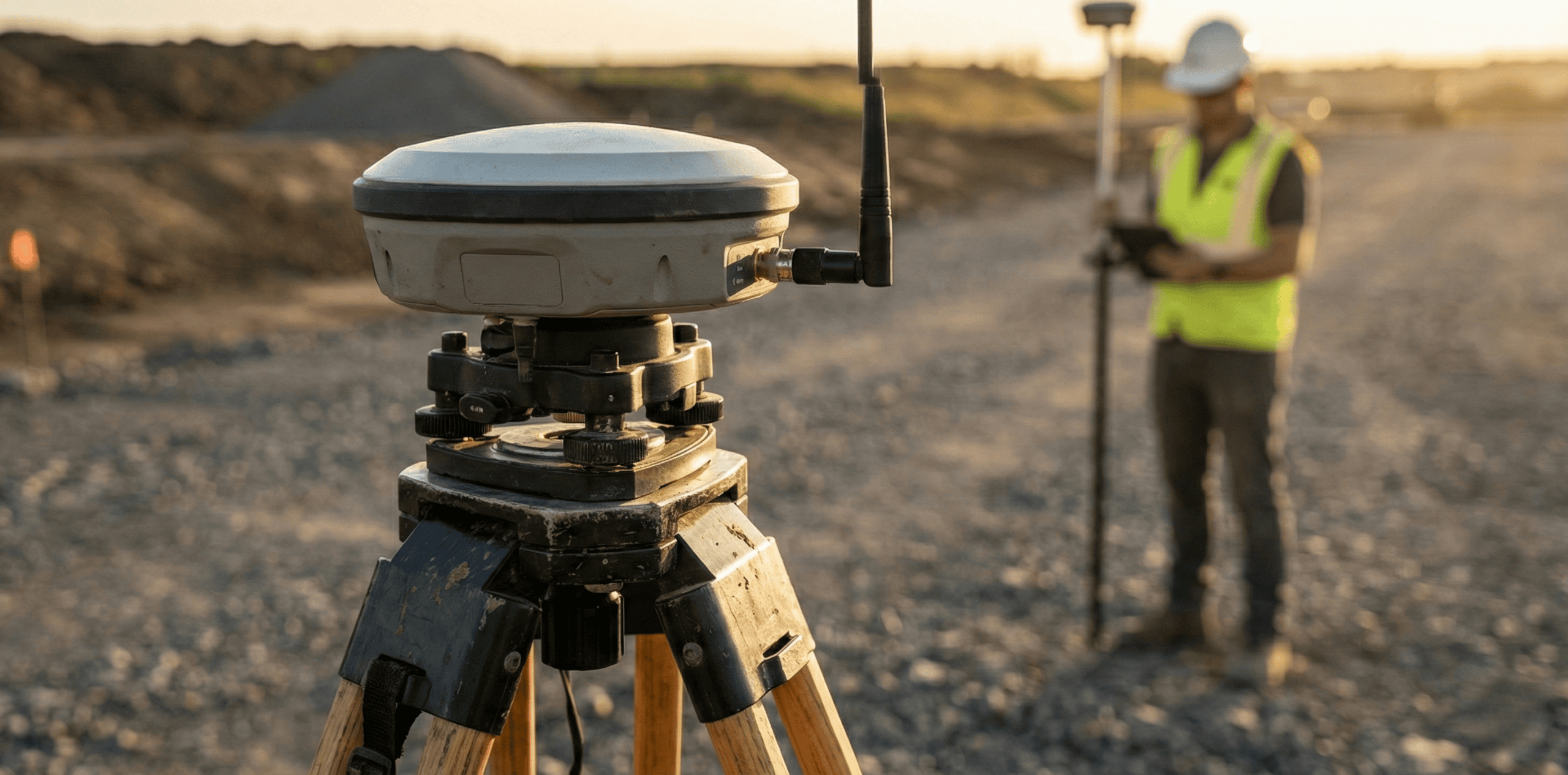
RTK base stations enable centimeter positioning with the right base coordinate, a stable link (NTRIP/radio), and a compatible RTCM/MSM stream. This guide shows how to find stations near you and fix common FIX vs FLOAT, baseline, and datum/geoid issues.

Sensor fusion robotics works best when you design for failures: IMU + odometry + cameras/LiDAR + GNSS/RTK, tight calibration, time sync, and honest covariances. This guide covers fusion architectures and estimators (EKF/UKF, particle filters, factor graphs) plus a ROS2-ready blueprint for reliable localization in real robots, now.
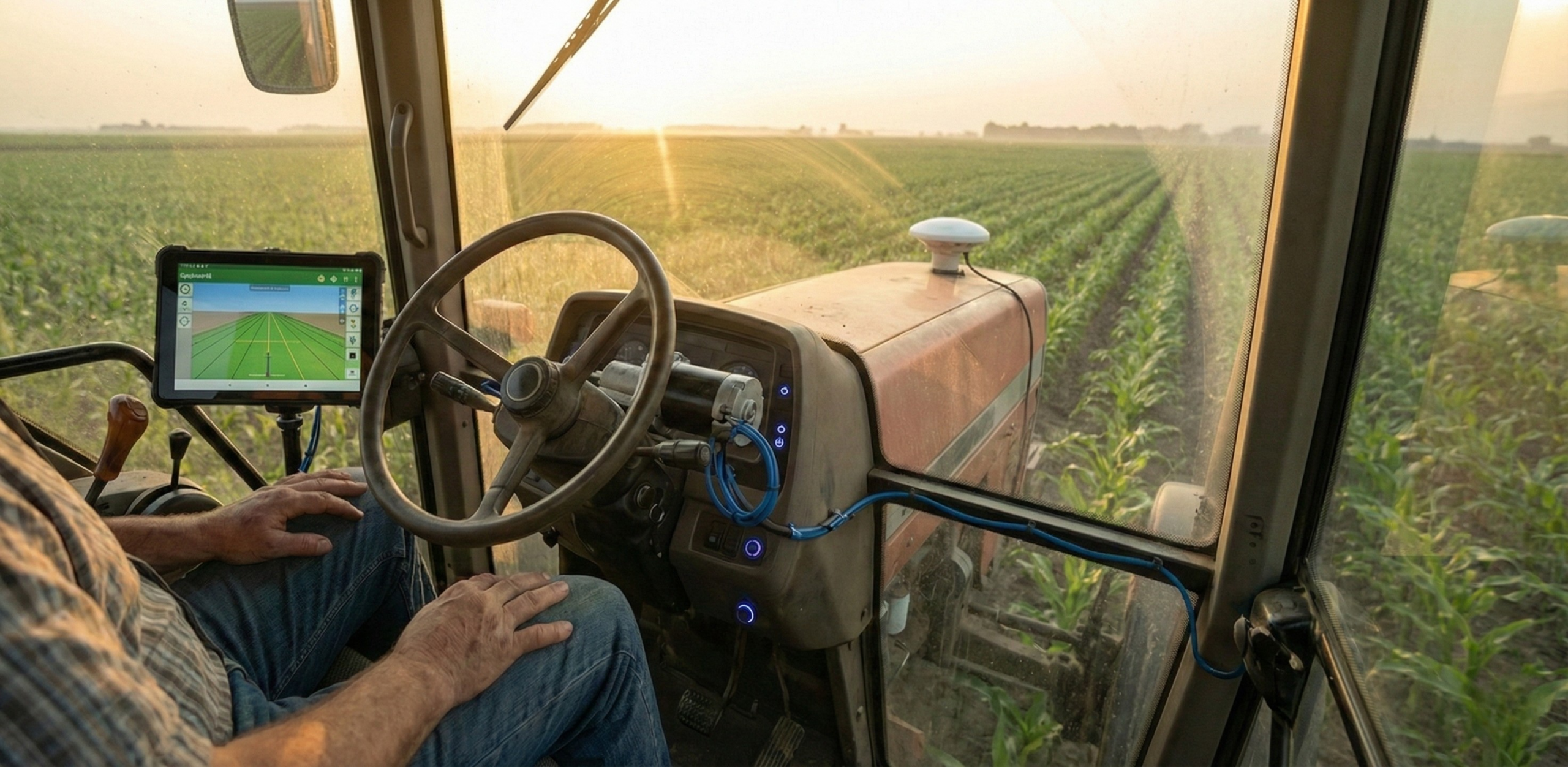
DIY tractor autosteer with RTK works best when you treat it like a full system: GNSS + corrections (base station or NTRIP), steering actuation (wheel motor or hydraulics), feedback, and clean power/safety. This guide gives a build blueprint—parts, hidden costs, install/tuning steps, and what drives repeatable lines in real fields.
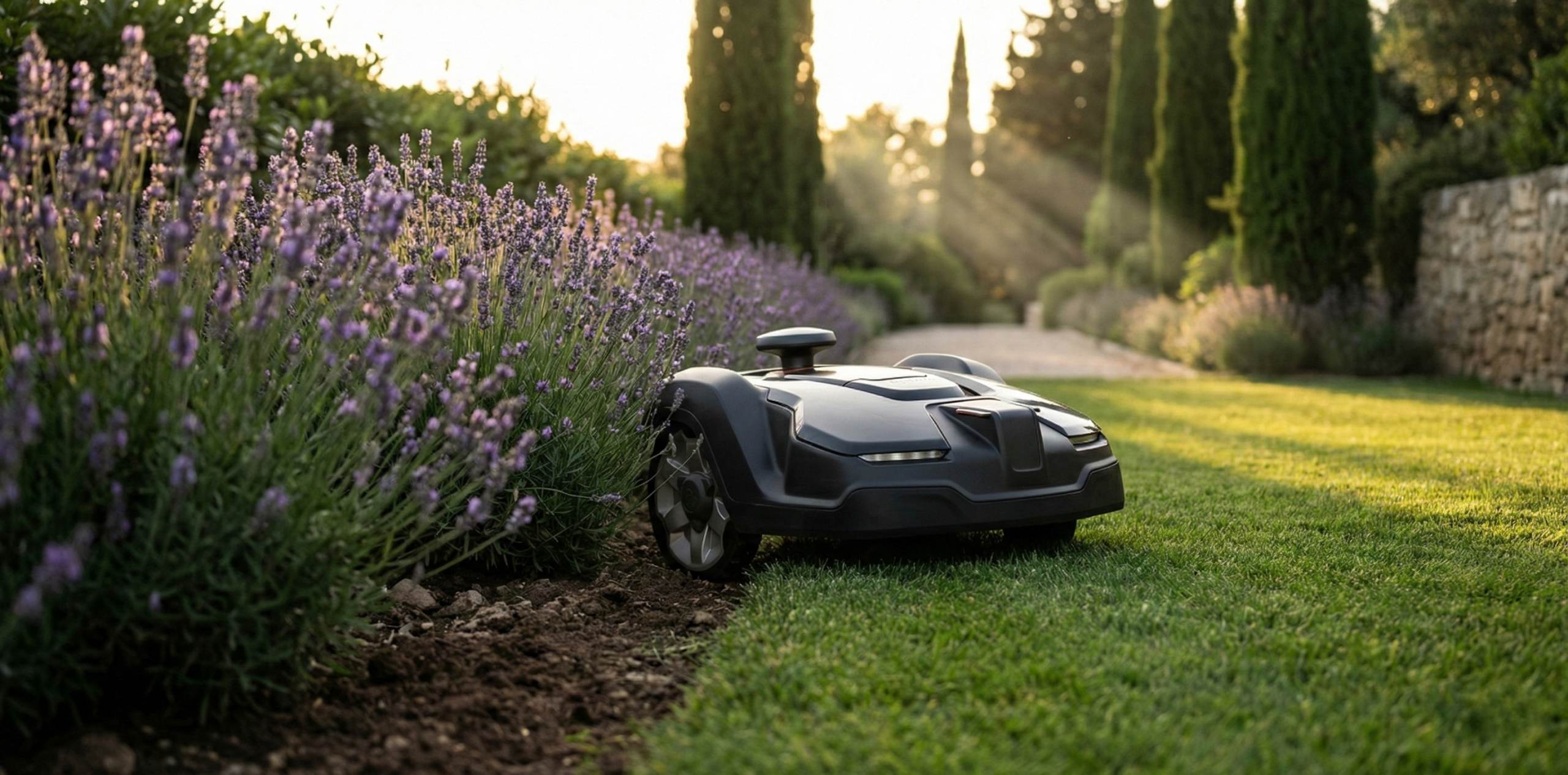
Wire-free robot mower RTK accuracy is a tolerance game: “cm-level” can be real in open sky, but trees, buildings, and multipath can trigger sudden 30–50 cm shifts at the boundary. Learn how to test your yard, interpret fix vs float drops, and set safer virtual fences with practical margins and no-go buffers.

RTK multipath sensor fusion is critical offshore: reflections from water, metal, docks, and bridges can make positions jump, lag, or re-initialize during tight turns and docking. This article explains how multi-frequency GNSS + tightly-coupled INS, robust filtering, and smart antenna practice help maintain stable cm-level navigation when conditions allow.