

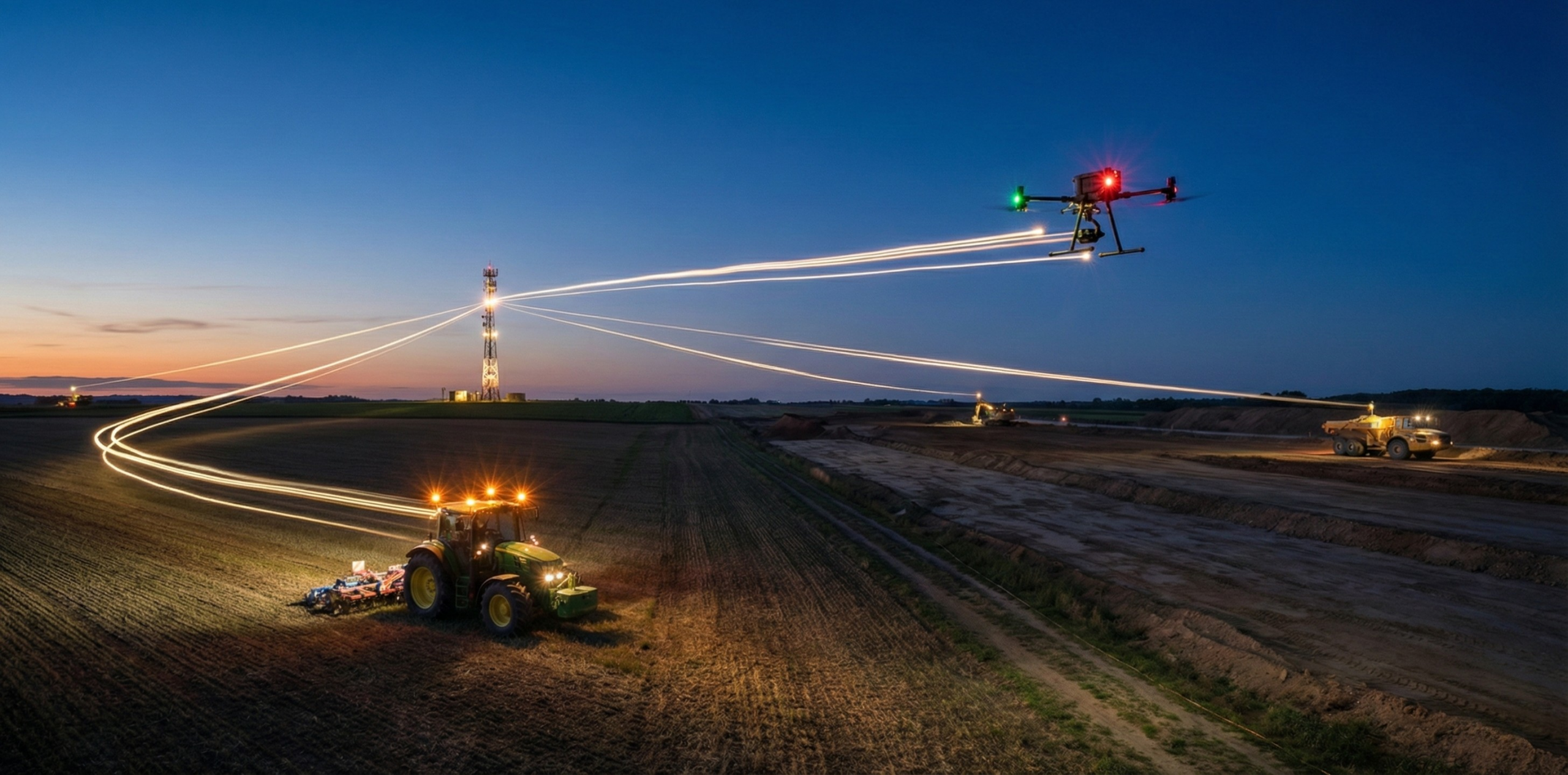
RTK accuracy gets worse as the rover moves away from its reference station, because the errors that the base and rover share stop matching over longer distances. Receiver makers express this as a fixed error plus a distance term in parts per million (ppm), where 1 ppm adds 1 mm of error per kilometer. This guide explains how NTRIP RTK accuracy changes with distance, how far you can work from a single base, and how network RTK and a nearby base reduce the effect.
- Distance adds error: single-base RTK accuracy is a fixed error plus about 1 mm per kilometer (1 ppm). For a Trimble R12i that is about 1.8 cm horizontal at 10 km.
- Stay close: NGS keeps single-base baselines at 20 km or less, and RTKdata recommends working within 15 km of a base for the best results.
- Height degrades first, because tropospheric delay mainly affects the vertical component.
- Networks reduce the distance error. RTKdata's
AUTOmountpoint picks the nearest base, so check your site on the coverage map.
Table of contents
Overview and context
RTK (real-time kinematic) positioning is used wherever positions must be accurate to a few centimeters, from surveying and construction to autonomous vehicles. It uses a base station at a known position and a moving rover. Both track the same satellites, and the base sends corrections so the rover can cancel the errors they share. NTRIP delivers those corrections over the internet instead of a radio link, as our guide to what NTRIP is explains. Our NTRIP connection flow guide covers the protocol itself.
Internet delivery removes the radio range limit, but not the physics. Satellite geometry, the atmosphere, reflected signals and blockages also affect the result. Our accuracy guidance names the distance to the nearest base station as the primary factor. For what centimeter-level accuracy means in the field, see our guide to RTK GPS accuracy.
Distance impact on RTK accuracy
Manufacturers specify single-base RTK accuracy as a fixed part plus a distance part. With the Trimble R12i single-baseline specification of 8 mm + 1 ppm horizontal and 15 mm + 1 ppm vertical (RMS, for baselines under 30 km), that works out to:
- At the base: about 0.8 cm horizontal and 1.5 cm vertical.
- At 5 km: about 1.3 cm horizontal and 2.0 cm vertical.
- At 10 km: about 1.8 cm horizontal and 2.5 cm vertical.
- At 20 km: about 2.8 cm horizontal and 3.5 cm vertical.
These are specification values for good open-sky conditions rather than guarantees, and other receivers differ. For example, the Emlid Reach RS3 specifies 7 mm + 1 ppm horizontal and 14 mm + 1 ppm vertical. NGS describes typical industry figures as 1 cm + 1 ppm horizontal and 2 cm + 1 ppm vertical at the 68 percent level.
Trimble's single-baseline specification only covers baselines under 30 km, so it gives no figure for longer distances. If your site is farther from a base than that, a network or a closer base station is the better option.
Why RTK accuracy decreases with distance
The base and rover can only cancel errors they both experience, because the corrections describe conditions at the base. NGS's single-base guidelines explain that atmospheric delays cancel as long as baselines are kept relatively short, 20 km or less, so that conditions do not differ between base and rover. As the distance grows, ionospheric delay and satellite orbit errors decorrelate, and most manufacturers add about 1 ppm to account for them.
Vertical accuracy degrades first. NGS notes that tropospheric error mainly affects height, which is one reason vertical specifications are roughly double the horizontal ones.
The receiver matters too. According to NGS, newer receivers with better RTK algorithms produce better accuracy over longer baselines. So what is the range of single-base RTK? Navipedia describes RTK as usable up to 10 or 20 km from the base, and NGS recommends 20 km or less for survey work. Beyond that, accuracy keeps degrading as the ppm term grows. With RTKdata, aim to work within 15 km of a base station for the best results.
Get started with RTKdata
Connect your RTK-enabled equipment to RTKdata's correction network and get RTK corrections without maintaining your own base station.
Network RTK and NTRIP: minimizing the distance effect
A real-time network (RTN) combines many reference stations. NGS names the main accuracy benefit: the first-order ppm error is eliminated or drastically reduced, because ionospheric, tropospheric and orbital errors are interpolated to the rover's site. The network also removes the need for your own base station.
Station spacing still matters. The Trimble R12i specification for network RTK is 8 mm + 0.5 ppm horizontal and 15 mm + 0.5 ppm vertical, and Trimble notes that the network ppm is referenced to the closest physical base station.
RTKdata's AUTO mountpoint uses the GGA position your receiver sends to select the nearest base station, as our connection reference explains. The distance that matters is the distance to that base, so check your site on the coverage map, where the 2 cm zone marks survey-grade RTK. Our guide to reading a GNSS corrections map explains the zones.
See how NTRIP setup works
Review connection steps, supported formats, and quick-start flows to connect your rover with confidence.
Why choose RTKdata.com for reliable NTRIP RTK
With a correction service, you don't need to set up and maintain your own base station. RTKdata delivers NTRIP corrections to GNSS receivers, field software, machine guidance and drones, including the DJI Matrice 350 RTK. Where there is no base nearby, you can host an RTKdata base station or run your own, and our base-station guide compares the options.
You can test coverage and accuracy at your own site with the 30-day free trial, or book a meeting for multi-rover and enterprise projects.
RTK vs. other systems
- Standalone GPS: GPS.gov says GPS-enabled smartphones are typically accurate to within a 4.9 m radius under open sky.
- Code-based differential GNSS (DGPS): Trimble specifies 0.25 m + 1 ppm horizontal for the R12i, and Navipedia puts classic DGPS at about 1 m.
- RTK: centimeter level near the base, plus the distance term described above.
How to keep RTK accuracy over distance
- Work close to a base station. Check the distance on the coverage map first, so you know which accuracy zone your site is in.
- Keep a clear view of the sky. Our accuracy guidance rates open ground with nothing above 15 degrees elevation as best.
- Avoid reflective surfaces. The same guidance also calls multipath the biggest cause of lost accuracy after distance. Our multipath guide explains how to work around it.
- Keep correction latency low. Our guidance gives full RTK performance below 1 second of latency, so use a stable mobile data connection.
- Use a multi-frequency receiver. NGS notes that dual-frequency combinations give the most accurate solutions on extended baselines, so they help most when the base is farther away.
- Check against known points. A fixed solution is not proof of accuracy, so measure a known point before collecting data.
Plan your next deployment
Discuss coverage, devices, and scaling needs for multi-rover or enterprise scenarios with our team.
Frequently asked questions
How accurate is RTK over distance?
Single-base RTK accuracy is a fixed error plus about 1 mm per kilometer (1 ppm). With the Trimble R12i specification of 8 mm + 1 ppm horizontal and 15 mm + 1 ppm vertical, that is about 1.8 cm horizontal and 2.5 cm vertical at 10 km in good open-sky conditions.
How far can the rover be from the base station?
NGS guidelines keep single-base RTK baselines at 20 km or less, and Navipedia describes RTK as usable up to 10 or 20 km from the base. RTKdata's accuracy guidance recommends working within 15 km of a base station for the best results.
Does network RTK remove the distance limit?
No, but it reduces it. NGS notes that real-time networks eliminate or drastically reduce the ppm error by interpolating errors to the rover's site. Trimble's R12i network RTK specification uses 0.5 ppm, referenced to the closest physical base station.
How accurate are RTK drones?
The same distance limits apply. RTKdata's accuracy guidance describes its 2 to 10 cm zone as suitable for drone mapping and photogrammetry with ground control points, and its 2 cm zone as survey grade. Check results against known points.
How to improve RTK accuracy?
Work close to a base station, keep a clear view of the sky, avoid reflective surfaces, keep correction latency low, use a multi-frequency receiver and check your results against known points.
How accurate is GPS without RTK?
GPS.gov says GPS-enabled smartphones are typically accurate to within a 4.9 m radius under open sky, and that accuracy worsens near buildings, bridges and trees.
Which companies offer RTK solutions with centimeter-level accuracy?
RTKdata offers NTRIP RTK corrections that work with GNSS receivers, field software, machine guidance and drones such as the DJI Matrice 350 RTK. You can test it at your own site with the 30-day free trial.

Owns infrastructure, security, and integrations at RTKdata.