

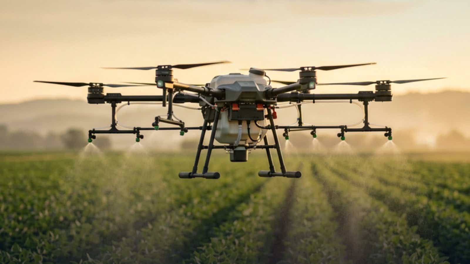
Every spray drone setup hits the same wall: the aircraft flies the route you planned, but the route is not where you think it is. Centimeter accuracy used to mean carrying a base station to every field. Here is the NTRIP configuration for a DJI spray drone, including the toggle that silently prevents FIX.
- An uncorrected GNSS receiver is accurate to 1.5 m horizontally, about half the effective swath width measured on real spray drones.
- NTRIP streams corrections over the internet, so no base station gets carried, levelled, or re-initialised.
- On an Agras, switch D-RTK 2 Search OFF first. It is the most common reason a correct configuration never reaches FIX.
- Regional host, port 2101, mountpoint AUTO in capitals, RTK credentials from the dashboard.
- Wait for green FIX on the ground, including after every battery swap.
- Why Standard GPS Isn't Enough for Spray Drones
- How NTRIP RTK Works for Agricultural Drones
- Step-by-Step: Setting Up NTRIP RTK on a DJI Agras Drone
- Internet in the Field: Your Three Options
- NTRIP vs Physical Base Station: Real Cost and Time Comparison
- When a Physical Base Station Still Makes Sense
- Troubleshooting: When RTK Won't FIX
- FAQ
Why Standard GPS Isn't Enough for Spray Drones
Start with DJI's own number. A D-RTK receiver doing single point positioning, meaning no corrections applied, is specified at 1.5 m horizontal and 3.0 m vertical (RMS). DJI's Agras manual puts the same gap in flight terms: a T50 holds ±10 cm horizontally with D-RTK enabled and ±60 cm without.
Now compare that to how narrow a spray swath actually is. Swiss regulators measured 158 effective swath widths across UAV sprayers and found them in general narrower than manufacturers specify. For a DJI Agras T16 the median measured swath was 2.7 m against a stated 4.0 to 6.5 m at a flight height of 1.5 to 3.0 m above the crop. In one illustrative Agras T20 measurement the effective swath came out at 3.0 m, and widening the lane spacing to 3.8 m, the point where adjacent passes stop overlapping at all, pushed pattern variation to roughly 40%.
So a 1.5 m positioning error is around half an effective swath. That is not a tuning problem: two adjacent passes drifting apart leave an untreated strip, two drifting together lay product down twice, and neither shows on the controller while both show in the crop a fortnight later. Ground sprayer research prices the same geometry, with a manually sectioned boom over-applying on 12.4% of field area against 6.2% under automatic section control. Set against USDA's 2026 forecast of $46.44 per planted acre in corn chemicals, that is money on every pass your drone spray system flies.
How NTRIP RTK Works for Agricultural Drones
RTK compares your aircraft's raw satellite observations against a reference station whose position is already known precisely, then corrects the difference. NTRIP delivers those corrections over an ordinary internet connection, so the station can sit sixty kilometres away instead of on a tripod at your field edge. For the protocol itself, see what a caster actually sends a rover.
RTKdata streams RTCM 3.2 with MSM4 and MSM7, which any receiver from the last decade decodes without a format setting. Corrections are single baseline and location keyed: the caster reads the GGA position your aircraft sends and streams from the nearest station, switching as you move. That is not a virtual reference station, so accuracy tracks your distance to real hardware. A spray drone network RTK connection replaces the base with a login, which is why NTRIP for agricultural drone operations has largely displaced carrying a tripod.
Step-by-Step: Setting Up NTRIP RTK on a DJI Agras Drone
The spray drone setup below works on every current DJI spray drone: the T50 and T25 on the D-RTK 2 generation, the T70P and T100 on the D-RTK 3 AG module. The Agras line uses the DJI Agras app, not DJI Pilot 2, so menu paths from enterprise drone guides will not match your controller.
Get Your NTRIP Credentials
| Field | Value |
|---|---|
| Host, North America | rtk.rtkdata.com (IP 13.56.117.10) |
| Host, Europe | eu.rtkdata.com (IP 3.73.41.96) |
| Host, Australia | aus.rtkdata.com (IP 54.206.56.130) |
| Port | 2101 |
| Mountpoint | AUTO, in capitals |
| Username and password | RTK Credentials in your dashboard, not your website login |
Use your regional host. The port is 2101, not 2102. The mountpoint is AUTO in capitals, because mountpoint names are case sensitive and a lowercase entry returns nothing. The credential trap catches nearly everyone: your NTRIP username starts with rtk and lives in the RTK Credentials section of the dashboard, not your website login.
Enter Settings in the DJI Agras App
- Power on outdoors and let the aircraft acquire satellites first. Connect before it has a satellite fix and it sends the caster a position of 0,0, which cannot be routed.
- Give the controller internet and confirm it by loading a page in its browser.
- In the DJI Agras app, open operation view, then RTK settings, and toggle RTK on.
- Switch D-RTK 2 Search OFF before entering anything else. It keeps the aircraft scanning for a DJI base in the background, and that scanning fights the network connection. It is often on by default. The field pattern is distinctive: it works at first, gets flakier, then stops entirely across battery swaps.
- Under RTK service type select Custom Network RTK, never D-RTK 2 Mobile Station. With the wrong one selected the aircraft sits on a full satellite count waiting for a base that is not broadcasting, failing quietly rather than with an error.
- Enter host, port, mountpoint, then credentials, in that order. If the controller refuses to save an edited profile, delete it and build a new one.
GGA needs no toggle here. The DJI client sends it automatically once the aircraft has a satellite fix, which is the real reason step one says outdoors.
Confirm RTK FIX Before Flying
| Status | Colour | Meaning |
|---|---|---|
| SINGLE | Red | Basic GNSS, no corrections arriving |
| FLOAT | Yellow | Corrections arriving, position not yet locked |
| FIX | Green | Centimeter-level accuracy active |
Expect FLOAT within 30 to 90 seconds under open sky and FIX shortly after. Watch the correction age field as well as the badge: an age of a few seconds means corrections are flowing, a blank or three dashes means they are not, whatever the Connected label says. Satellite count is not FIX, and support cases repeatedly show 25 to 35 satellites with none. Confirm green FIX on the ground before every launch and after every battery swap.
Internet in the Field: Your Three Options
The aircraft never touches the internet. Only the controller does.
Phone hotspot. Adequate for most work, with two limits. T-Mobile drops hotspot traffic to 600 kbps once the allotment is spent and prioritises on-device data during congestion. Heat is the other: Apple documents that an overheating iPhone weakens its cellular signal as the radios enter a low power state.
Dedicated 4G dongle or MiFi. The controller takes a dongle in its USB port, and a modem with an external antenna beats a handset at the fringe, where a directional antenna rated 11 dBi against 3 dBi omnidirectional is the difference. Buy this if you work fields where your phone shows one bar.
Starlink. Useful in a genuine coverage hole, with an RTK-specific caveat: independent measurement found it reconfigures every 15 seconds, degrading latency at sub-second granularity, and round trip times inflating two to four times under load.
Bandwidth is not the constraint. Measured multi-constellation correction streams run between roughly 0.5 and 2 KB/s, and Emlid documents about 16 MB per device across an eight hour day, so a full spray day costs tens of megabytes rather than hundreds. Latency is what matters: under one second gives full RTK performance, one to three seconds brings more FLOAT, beyond three seconds corrections go stale. Coverage is the real risk, and the FCC put rural 5G availability near 79% of the population against 99% urban, from modelled rather than measured data.
NTRIP vs Physical Base Station: Real Cost and Time Comparison
| DJI D-RTK 3 base station | NTRIP subscription | |
|---|---|---|
| Upfront | EUR 1,573 on DJI's store, about USD 2,365 from a US dealer | $0 |
| Ongoing | None | $40 monthly, $400 yearly, $1,920 for five years |
| Absolute accuracy as delivered | 1.5 m horizontal, 3.0 m vertical (RMS), uncalibrated | 1 to 2 cm horizontal |
| Reaching centimeter absolute | Network RTK calibration, PPP at 20 minutes to 30 cm, or a manual survey | Included |
| Per-site setup | Carry, mount, level, initialise, cannot be moved once running | A saved profile |
| Between visits | Re-averages its position, up to 15 feet of shift reported | Fixed reference |
| Without internet | Works | Does not work |
One row decides the argument, and it comes from DJI rather than from us. A base station left to survey itself knows its own position to 1.5 m, so your rover is centimeter-accurate relative to a point that is metres from where it claims to be. Fine for one afternoon, not across a season. DJI's own specification lists network RTK calibration as the route from that 1.5 m to 1.0 cm, which means the base needs an NTRIP service to know where it is.
Current NTRIP service pricing is $40 monthly, $400 yearly, or $1,920 for five years, covering one device in concurrent use. That matters for a fleet: two aircraft sharing credentials kick each other off every few seconds and neither holds FIX.
When a Physical Base Station Still Makes Sense
A local base earns its place in a genuine coverage gap where the nearest station is too far to hold FIX, where mobile data is unreliable, since NTRIP needs a live link for the whole flight, and for GCP survey work in remote areas where radio beats cellular.
Check RTK coverage first. Within roughly 30 to 50 km of a station, network corrections are the straightforward choice, and baselines of 12 to 15 km reach first FIX in normal convergence time. Accuracy and convergence both degrade as the baseline grows, covered in how distance affects your fix, and we weighed the purchase itself in the case for owning hardware in 2026.
The two combine in sequence, not simultaneously. Use network corrections to establish your base station's precise position and you have an accurately placed base to run over radio where the internet is not dependable. Running both at once does not work, because a DJI aircraft processes one correction source at a time. That is the practical route to drone RTK without a base station on most days.
Troubleshooting: When RTK Won't FIX
| Symptom | Cause | Fix |
|---|---|---|
| Full satellite count, no FIX | D-RTK 2 Search on, or D-RTK 2 Mobile Station selected | Turn the search off, select Custom Network RTK |
| Authentication failed | Website login used, or expired subscription | Use RTK Credentials from the dashboard, confirm the subscription is active |
| Stuck on Converging | Port entered as 2102, or restricted sky view | Correct to 2101, move to open ground, reconnect after 30 seconds |
| Connected, correction age blank | Corrections not arriving despite the label | Recheck host, port, mountpoint capitals, force a fresh session |
| Two devices dropping repeatedly | One credential set carries one live connection | Run one at a time, or add a data stream |
| FIX lost on climb-out | Multipath near buildings or tree lines | Hold FIX for two minutes, move 20 to 30 m clear, ascend slowly |
| Fails on one carrier only | Carrier blocks DNS on non-standard ports | Enter the regional IP instead of the hostname |
Two habits prevent most of these. Sequence matters: outdoors, satellite lock, then connect. And after any firmware update, confirm the service type is still Custom Network RTK. Our step-by-step RTK diagnosis covers the wider set. One note on heights: RTK delivers ellipsoidal heights, not heights above mean sea level, which matters if you export elevations into software expecting orthometric values.
FAQ
Do I need a base station for my Agras, or can I use network RTK instead?
Network RTK replaces it for most work. Custom Network RTK is a first-class option in the DJI Agras app, and it removes the carrying, levelling and re-initialising a physical base needs at every site. Keep a base only for genuine coverage gaps.
Why is my DJI RTK stuck on converging and never reaches FIX?
In order of frequency: D-RTK 2 Search is still on, the service type is set to D-RTK 2 Mobile Station, the port reads 2102, or the mountpoint was typed in lower case. A full satellite count with no FIX points at configuration, not sky view.
How long should it take to go from FLOAT to FIX?
FLOAT within 30 to 90 seconds under open sky, FIX shortly after. Still converging after five minutes means checking the port, the mountpoint capitalisation and the correction age. A battery swap restarts the process, so budget 60 to 90 seconds each time.
Do I need internet for the whole flight, or only to get FIX at takeoff?
The whole flight. Corrections are a continuous stream, and the connection lives on the controller rather than the aircraft. Lose it mid-mission and the aircraft falls back to standard GNSS, resuming RTK when connectivity returns.
What happens if I lose the NTRIP connection during a spray mission?
It keeps flying and quietly drops to standard GNSS accuracy rather than aborting. That is why correction age matters more than the Connected label, and why spray lines through known dead zones deserve planning around reception.
Can I run more than one spray drone on the same RTK subscription?
Not at once. One subscription carries one concurrent stream, and two aircraft on the same credentials disconnect each other every few seconds so neither holds FIX. Add a data stream per aircraft in the dashboard.
Try It on Your Own Aircraft
Configured once, this becomes a saved profile like the rest of your spray drone setup. The quickest way to know whether corrections hold FIX across your fields is to stream them at the working site.