

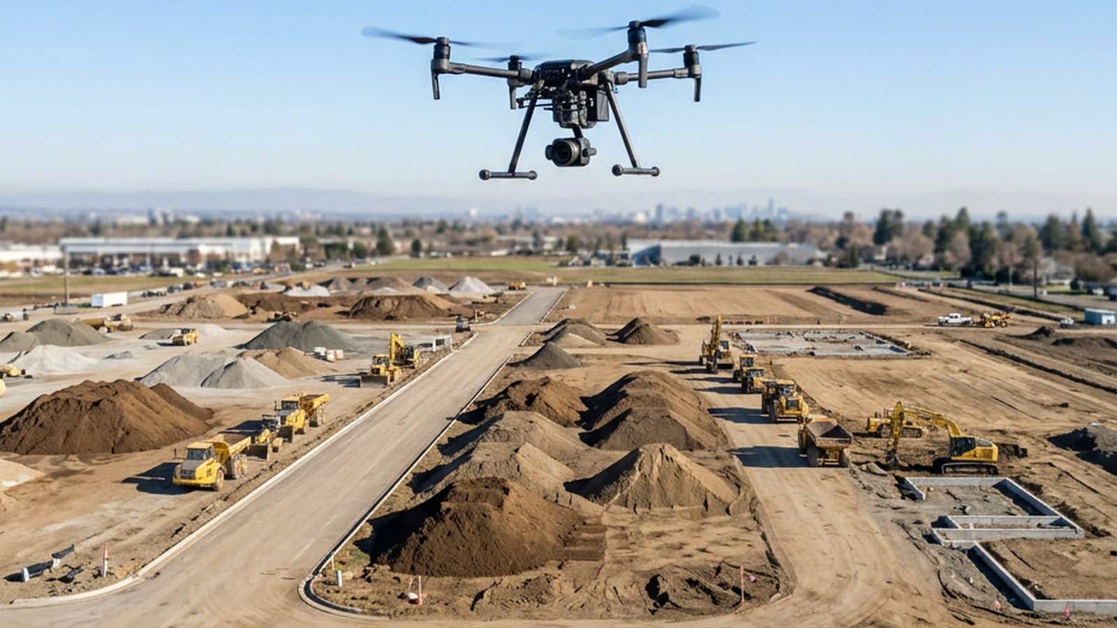
Drone mapping and traditional surveying both deliver centimeter work, but not the same centimeters. A total station holds sub-centimeter on the point it observes. A UAV survey covers the ground between the points. This comparison covers accuracy, speed, cost, safety, and where RTK corrections remove the ground control workload.
What is drone mapping? Drone mapping turns overlapping imagery or LiDAR returns from an unmanned aircraft into georeferenced deliverables: an orthomosaic, a point cloud, a surface model, a 3D model. A traditional survey measures discrete points from known control with a total station or a GPS receiver.
- Total station: sub-centimeter on the observed point. RTK rover: nearer 1 to 2 cm horizontal, 2 to 5 cm vertical.
- Absolute accuracy is measured against the datum; a datum shift destroys design-surface volumes.
- With RTK and no GCP, published checkpoint deviations stayed under 4 cm; without RTK, up to 30 cm.
- Documented field saving: 2 to 3 hours per mission against GCP-heavy workflows.
- NTRIP carries the RTCM stream to the aircraft. That stream is the accuracy budget.
Traditional Surveying vs Drone Mapping
Total Station, GNSS Rover, Boots on the Ground
A traditional topographic survey is a point-by-point campaign. The crew sets control, then records what the deliverable needs: pipe inverts, curb returns, break lines. A total station holds sub-centimeter on the observed point; an RTK rover in good conditions runs nearer 1 to 2 cm horizontal and 2 to 5 cm vertical (RTK survey equipment cost guide). Cost scales with point count, not site area.
Photogrammetry, LiDAR, and Direct Georeferencing
In contrast, aerial capture inverts the logic: the aircraft flies a programmed grid, recording overlapping images for photogrammetry or LiDAR returns. Processing rebuilds the camera positions, then a dense point cloud, an orthomosaic, and a surface model. Cost scales with area and flight time, which is why drone surveys get more attractive as sites grow. The aircraft cannot interpret; it records the surface as it stood.
Accuracy: Centimeters Either Way
Absolute Accuracy vs Relative Accuracy
ASPRS defines absolute accuracy as accounting for all systematic and random positional errors in a dataset referenced to a known datum (ASPRS Positional Accuracy Standards, Edition 2, retrieved August 2026). Relative accuracy covers internal consistency; the standard treats it for lidar and IFSAR elevation data as Data Internal Precision (Relative Accuracy).
A model can be internally consistent and still sit shifted against the datum. A 5 cm vertical bias across 10 hectares moves 5,000 m3 against a design surface. Only surface-to-surface comparison within one dataset survives it. Checkpoints must be at least two times more accurate than the product assessed, which keeps verification on an instrument.
GCPs vs an RTK-Enabled Drone
Setting ground control panels is the slowest part of the day. An RTK-capable aircraft logs corrected camera positions in flight instead.
Across three German test sites, none of them construction earthworks, checkpoint deviations with RTK and no GCP stayed under 4 cm; the same flights without RTK reached up to 30 cm in height. The authors call RTK aircraft sufficient above the 2 to 4 cm range but conclude datum definition still needs at least one GCP (Przybilla et al., ISPRS Archives XLIII-B1-2020, retrieved August 2026).
NTRIP is the transport: the aircraft logs into a caster over a mobile connection and receives an RTCM stream from the reference network. Against a single base, correction quality degrades as the baseline grows, the error network RTK models out. For drone survey mapping that stream is the accuracy budget, so RTK drone accuracy is correction accuracy.
Speed and Coverage
For example, in the US, Part 107 sets 400 feet above ground level and 87 knots for routine operations. One exception matters for inspection: within a 400-foot radius of a structure, it may fly 400 feet above that structure's uppermost limit (eCFR, 14 CFR 107.51, retrieved August 2026).
Altitude drives ground sample distance, so the ceiling sets the number of lines. Terrain sets the rest: relief forces terrain following, tighter line spacing, and cross-flights. A ground crew's output is points per day; an aerial survey drone produces hectares per flight. On the DRONEWERX mission in Southern Nevada, dropping GCP work saved 2 to 3 hours; skipping a local base station saved another 30 to 60 minutes. A UAV survey compresses collection into one mobilization; the constraint moves to processing.
Cost: Labor, Equipment, ROI
- Field labor. Traditional collection bills in crew days; a revisit costs nearly as much as the first. On larger sites the GCP portion alone adds 1 to 3 hours to a mission.
- Capital. A total station and a rover are long-lived; an airframe, payload, and processing license sit on a shorter refresh cycle.
- Corrections. A subscription stream takes the base station off the kit list, with its setup, teardown, and troubleshooting.
Commercial drone mapping time, counting pilot, vehicle, and overhead, often lands around $100 to $200 per hour, so saving two hours avoids roughly $200 to $400 per project (DRONEWERX case study). Return sits in the repeat cycle: a repeat UAV survey costs about one flight day plus processing, which is where RTK corrections for construction pay back.
Safety and Site Access
The US Bureau of Labor Statistics counted 5,283 fatal work injuries across all industries in 2023, a rate of 3.5 per 100,000 full-time equivalent workers. Fall protection in construction, 29 CFR 1926.501, was OSHA's most cited standard in fiscal year 2024 (OSHA Commonly Used Statistics, retrieved August 2026).
Drone surveys change the exposure profile, not the protective equipment. Nobody walks a live haul road, an embankment face, or a stockpile crest.
However, airspace authorization, visual line of sight, and weather constrain when an aircraft flies. For example, an invert level inside a manhole is not visible from the air.
Data Quality and the Digital Twin
A drone topographic survey returns a surface, not a set of shots, which is what earthwork disputes turn on. A dense point cloud carries every rut and slump between the break lines, so volumes can be recomputed against a revised design surface later, provided the model sits on datum.
Vegetation decides sensor choice: a camera records the canopy top, while LiDAR pulses find gaps in the foliage and return from the ground. Density and vertical accuracy are separate specifications. USGS 3DEP sets Quality Level 1 at 8 points per square meter and Quality Level 2 at 2, yet both carry the same 10 cm RMSEz for non-vegetated terrain (USGS 3DEP quality levels, retrieved August 2026). Those are national airborne minimums; site-scale drone LiDAR runs far denser.
On a fixed cadence, the orthomosaic, classified point cloud, and 3D model become a digital twin for progress claims and as-built comparison.
Which Method Wins?
Neither, on a project of any size.
| Criterion | Traditional survey | Drone mapping |
|---|---|---|
| Positional accuracy | Sub-cm total station; 1 to 2 cm RTK rover | Centimeter-level across the surface |
| Data density | Hundreds of points | Millions of points |
| Coverage rate | Points per crew day | Hectares per flight |
| Cost driver | Crew days, point count | Area, flight time, processing |
| Personnel exposure | Inside the hazard zone | Outside it |
| Under canopy | Direct ground measurement | LiDAR returns through gaps; photogrammetry maps canopy |
| Legal boundary work | Certified by a licensed surveyor | Supporting data |
| Best fit | Control, tie-ins, hidden detail | Surfaces, volumes, progress records |
The workflow that holds up is layered: set control and the legally significant detail the traditional way, treat drone survey mapping as the surface layer above it, and keep checkpoints so the deliverable stays testable. Run the UAV survey for the surface, the ground crew for control and tie-ins. On live versus post-processed corrections, see RTK vs PPK.
FAQ
How accurate is drone mapping compared to traditional surveying?
A total station holds sub-centimeter on the point it observes; an RTK rover runs nearer 1 to 2 cm horizontal and 2 to 5 cm vertical. Aerial capture trades per-point precision for continuous coverage, enough for surfaces, volumes, and progress records.
Do you still need ground control points with an RTK drone?
Not in the old quantity. In published testing, RTK flights with no GCP held checkpoint deviations under 4 cm, yet the authors still conclude datum definition needs at least one GCP.
Are drone surveys accepted for legal boundary work?
Not as the certifying deliverable. Aerial data supports topographic mapping, volumes, and documentation. Boundary lines, monuments, and plats are reserved for a licensed surveyor.
Do you need a base station with an RTK drone?
Not where network coverage reaches. A subscription NTRIP stream replaces the local base, saving 30 to 60 minutes of setup and teardown per mission.
LiDAR vs photogrammetry: which is better for site mapping?
On bare earth, photogrammetry gives comparable surface accuracy and better visual context at lower cost. Under vegetation, only LiDAR returns from the ground beneath.
Ready to Put Corrections Behind Your Flights?
The airframe is rarely the accuracy bottleneck. The correction stream is. RTKdata provides access to 20,000+ reference stations across 140+ countries, so an RTK-capable aircraft pulls corrections on site rather than waiting on a base station. Setup: our drone RTK setup guide.

Leads marketing, growth, and customer-facing communication at RTKdata and builds the demand engine across paid, content, and outreach.