
RTKdata Blog

Get reliable centimeter-level positioning: RTK/NTRIP tutorials, comparisons, and field tips.
 
BROWSE BY TOPIC

Articles

Kevin Grub

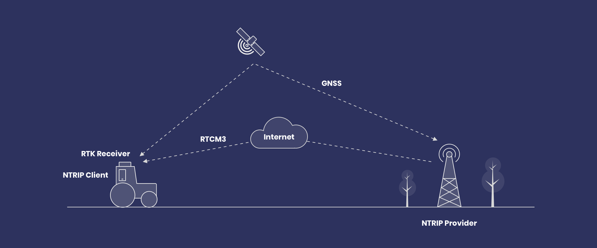
NTRIP connection flow explained

From sourcetable to mountpoint stream, this guide traces the NTRIP connection flow used by rovers and apps. It covers v1 vs v2 handshakes, GGA needs for VRS/NEAR, and resilience: timeouts, backoff, failover, and Age of Corrections.

Read More »
Global data analytics and data management map with highlighted regions.
Erik Grauberger

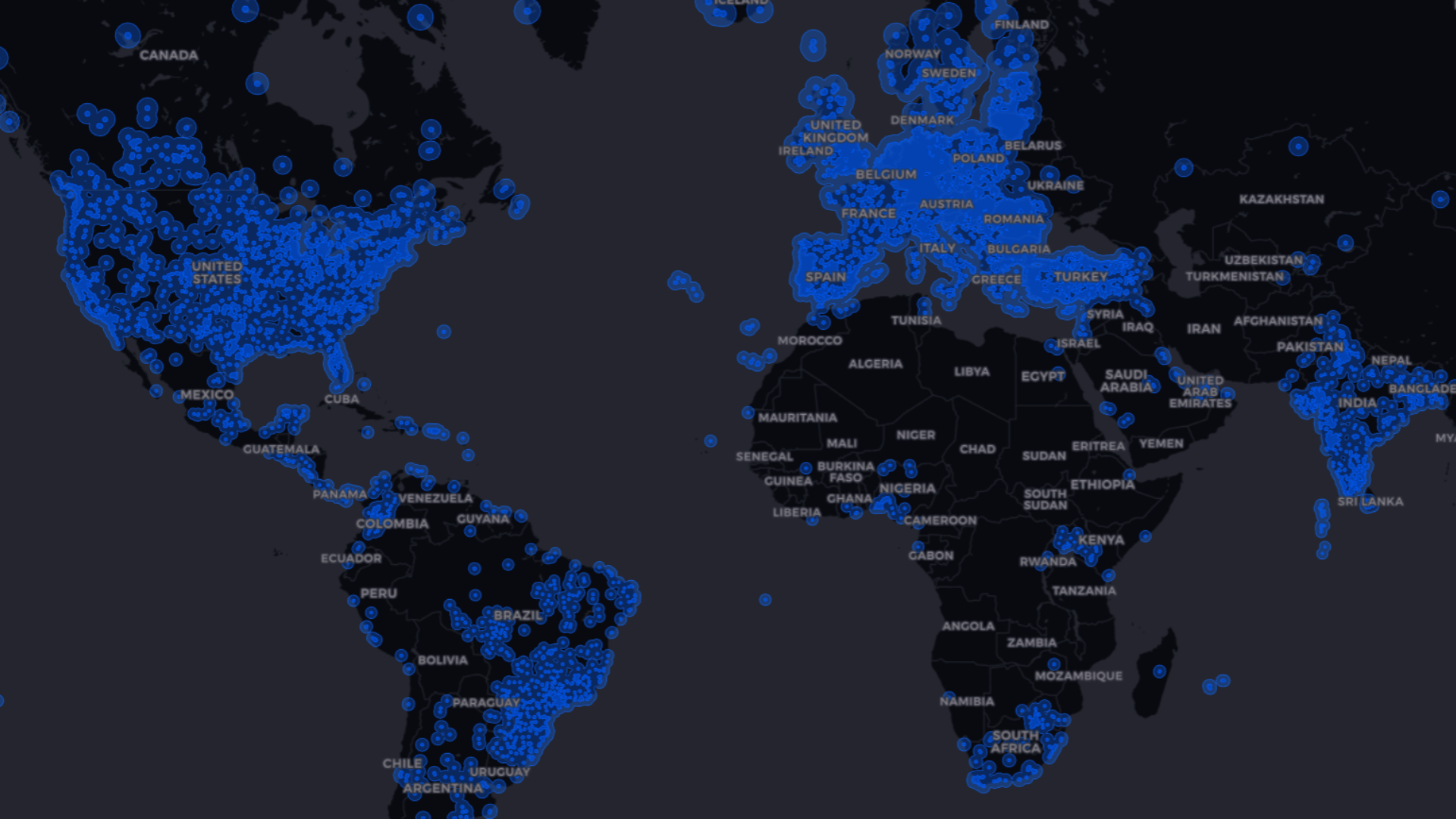
GNSS Corrections Map – Coverage and Accuracy

A GNSS corrections map shows where RTK, PPP/PPP‑RTK, and SBAS are available and what accuracy to expect. Use it to match regional coverage to tolerances and see how corrections shrink 5–10 m standalone errors toward centimeters.

Read More »
Erik Grauberger

What is NTRIP? RTCM Corrections for GNSS Rovers

NTRIP turns the internet into a real-time pipeline for RTCM corrections, giving GNSS rovers centimeter-level positioning. You’ll learn the core client settings (host, port, credentials, mountpoint) and what to watch—RTK Fix status and correction age.

Read More »