



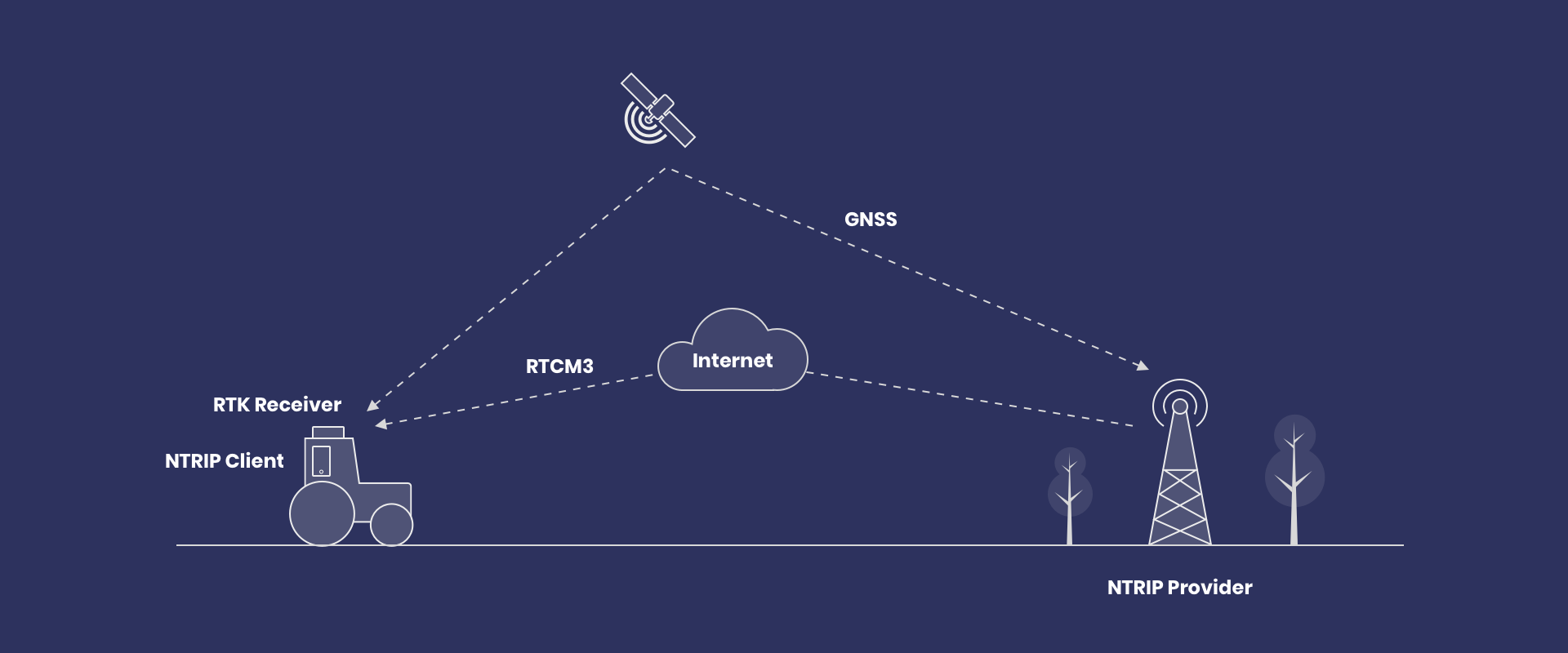

What is NTRIP? RTCM Corrections for GNSS Rovers
NTRIP turns the internet into a real-time pipeline for RTCM corrections, giving GNSS rovers centimeter-level positioning. You’ll learn the core client settings (host, port, credentials, mountpoint) and what to watch—RTK Fix status and correction age.
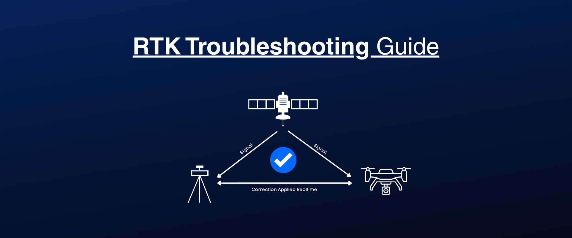
NTRIP Connection Failed: How to Diagnose and Fix RTK Correction Errors
A practical 7-step checklist helps you stabilize RTK when fixes drop or correction streams lag. It walks through network tests, sky view and hardware checks, NTRIP validation, and monitoring Fix/Float plus correction age (target ~1 s).
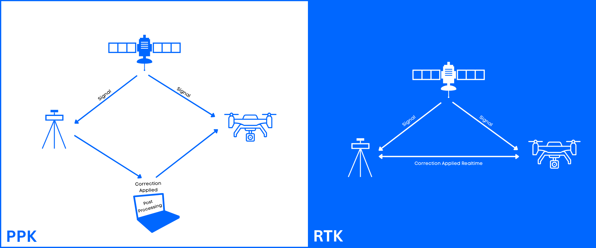
RTK vs PPK for Drone Mapping: Real-Time vs Post-Processed Corrections
Choosing between UAV RTK and PPK comes down to connectivity, turnaround time, and how you geotag photos for mapping. See when real-time corrections beat post-processing, and why camera event timing plus lever‑arm offsets decide centimeter-level accuracy.